........................... Return to Sumner's Home Page....
... Return Suzuki 650 Main Menu.... Return Colorado Trip Menu
==============================================================
...................--- Day 4 -- Montrose, Colorado to Blanding, Utah ---
==============================================================
............Previous Page...............................This Is The Last Page
==============================================================
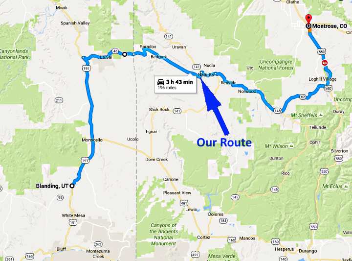
We had hoped to return to Blanding via Telluride, CO, and then from there over Lizard Head Pass to Cortez, and then home the back way, by way of McElmo Creek.
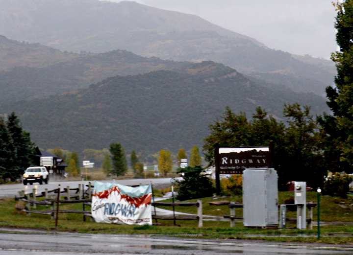
Those plans changed when we ran into rain approaching Ridgway, CO. We had put on some rain gear prior to leaving the motel so had been staying dry, but I wasn't crazy about going over Lizard Head Pass at 10,000 + feet in the rain and/or snow. We talked over the situation under cover at a gas station.
We decided to head home using part of the route we had taken from Blanding to Ridgway (and Ouray) the first day.
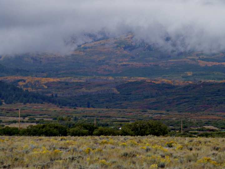
Riding in light rain from Ridgway, we followed Highway 62 to Highway 145. We had planned to turn east towards Telluride here before the rain and fog, but instead, using our better judgment for once, turned west to Norwood, CO. We took a rest break there. We were now back out of the rain with some cloudy blue skies in the direction of home so things were looking up.
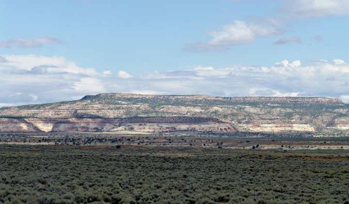
Past Norwood and Redvale, instead of turning onto Highway 141 and returning home the way we had come, we proceeded on straight and rode past Naturita until we reached the intersection of 141 and 90.
We took 90 west past ....
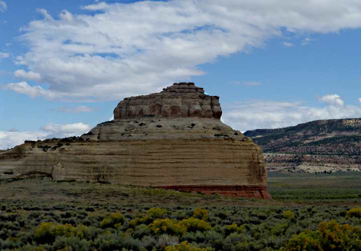
..... Bedrock, CO, and ...
.... on past ....
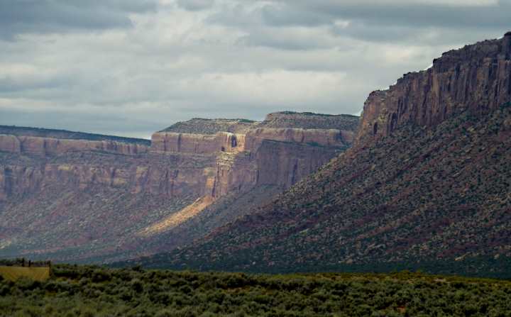
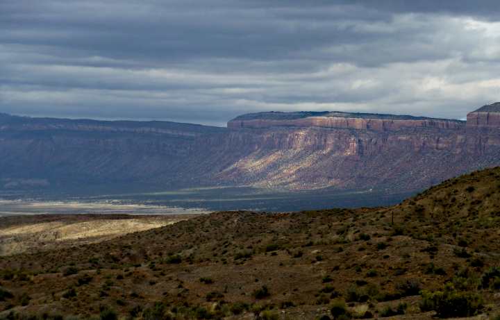
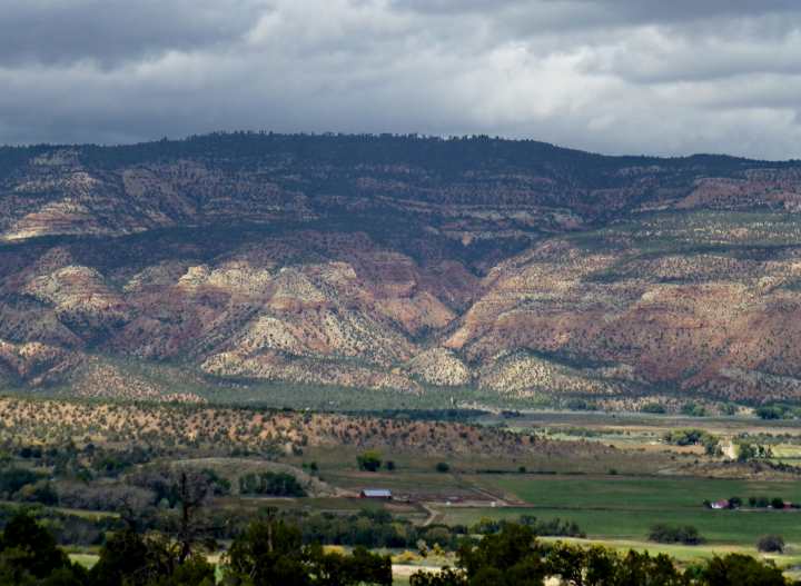
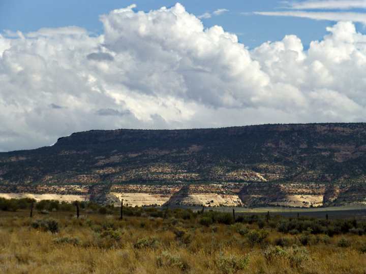
.... Paradox, CO, which are both located in a huge salt valley. There are a number of these in this area, with Moab, UT, also located in one.
Geologically, they are collapsed salt-anticlines and are examples of salt deformation. There are/were very thick salt deposits under the area. At some point the salt layers couldn't support the layers of rock over them and they collapsed. This allowed the rock over them to drop hundreds of feet and form a depressed valley. Kind of like a huge sink hole.
In this valley, the Dolores River flows in from the south and out to the north where it meets the Colorado River. The river didn't form the main features of the valley as is usually the case. The collapse of the salt far below the surface was/is responsible.
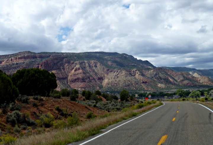
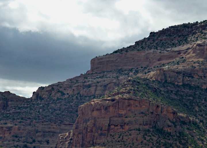
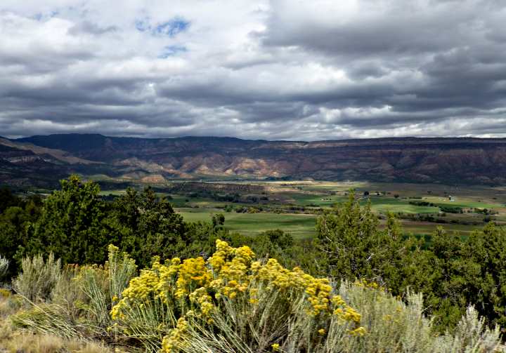
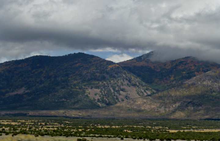
We climbed out of the valley via a number of switch-backs and ...
..... finally left Colorado behind ....
..... entering Utah by the small towns of Old and New La Sal just off ....
.... the south flank of South Mountain, part of the La Sal Mountain range, which also harbors Moab on the west flank.
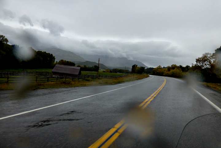
We ran in and out of clouds but no more rain and we continued our beautiful ride.
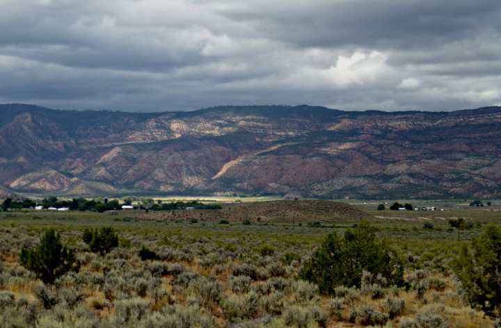
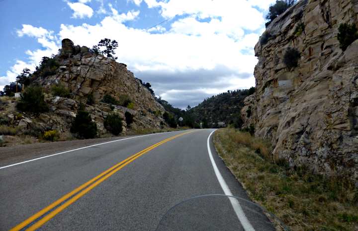
Past La Sal, we came upon Highway 191, where we turned south toward home about 50 miles away.
We passed .....
.... familiar landscape riding into Monticello, UT, and rode the last 20 miles to our home in Blanding, UT. It had been a great 4 day trip covering some 750 miles of canyons and mountains. We were glad to have taken our first ride in such a scenic area of our country.
It wouldn't be our last ride as we have only been home for 4 days and we are leaving in the morning for another 4 day ride. This time all in Utah, to Bryce Canyon and places between there and home (Bryce Canyon and Capitol Reef Trip),
Dottie and Sumner
==============================================================
...........................One.........TThis Is The Last Page