........................... Return to Sumner's Home Page....
... Return Suzuki 650 Main Menu.... Return Colorado Trip Menu
==============================================================
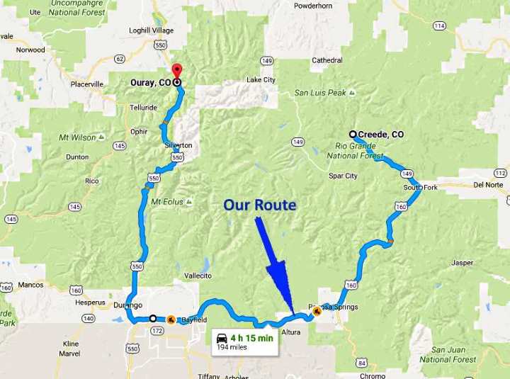
................--- Day 2 -- Ouray, Colorado to Creede, Colorado ---
==============================================================
............Previous Page...............................Next Page If There Is One
==============================================================
With the cooler fall temperatures, we were in no rush to leave the motel early Monday morning, but still wanted to get on the road. We decided to put on long underwear bottoms, anticipating lower temps while negotiating the four 10,000+ foot passes we would be going over during the day. We had breakfast at the motel and were on our way not long after 9 a.m.
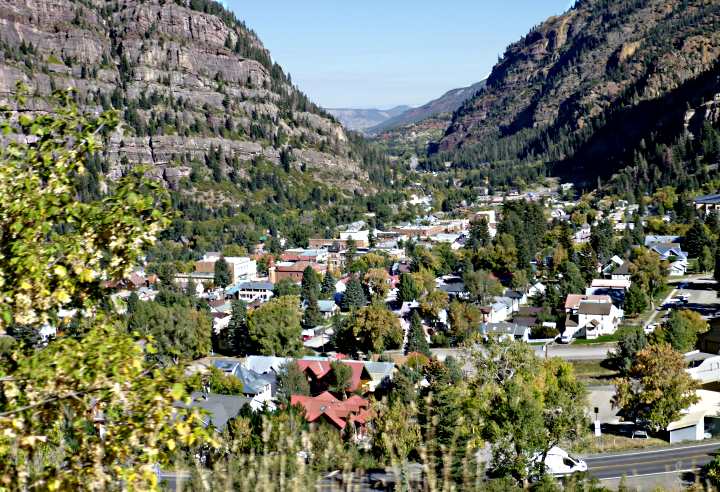
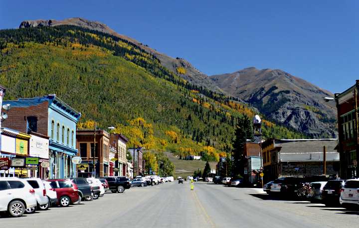
At the south end of town you immediately start climbing switchbacks. They offer a great view of the town in the valley below to the north. Ouray goes by the nickname "Switzerland of America" and it is a fitting descriptive.
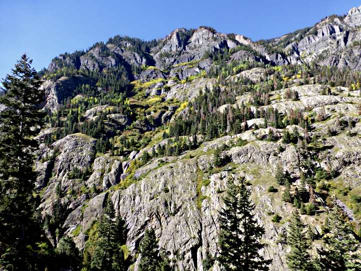
Highway 550, also called the "Million Dollar Highway" in this area ......
climbs above the Uncompahgre river via switchbacks and clings to the cliff sides for much of this stretch, with narrow lanes and no shoulder. You finally pass over Red Mountain pass at 11,018 feet and ....
..... start the descent into....
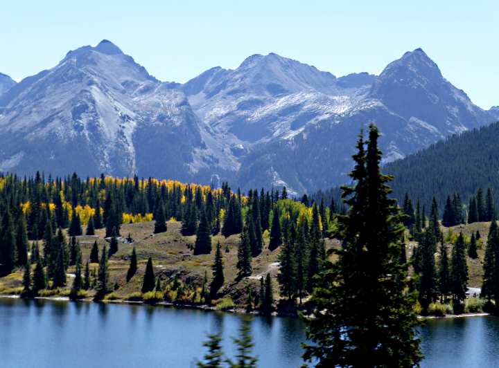
..... the town of Silverton, Colorado, which sits at a lofty 9,300 feet. Most all of the store fronts from this former mining town now cater to tourists in one way or another. We took advantage of one for a latte for Dottie and chocolate milk for myself. The altitude was effecting me some even though I've lived for years at 6,000 feet. It didn't seem to effect Dottie at all and she has lived most of her life at 1,000 feet or less.
Silverton is also the end-of-the-line for the Durango to Silverton steam narrow gauge railroad that is very popular.
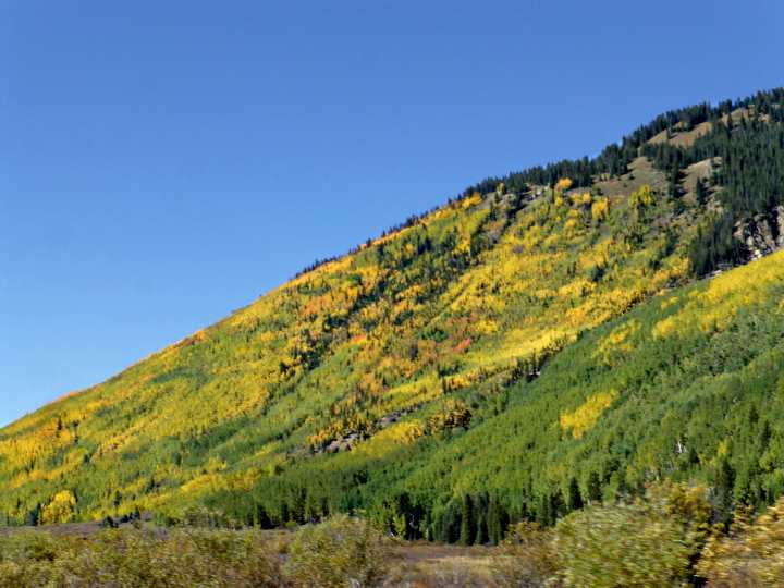
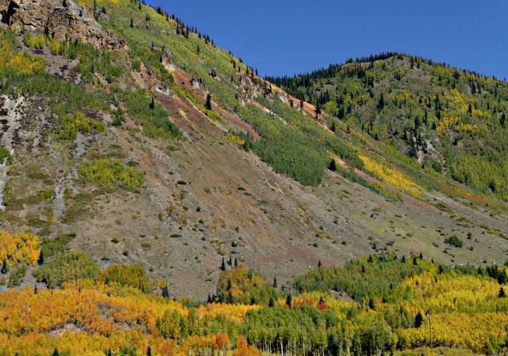
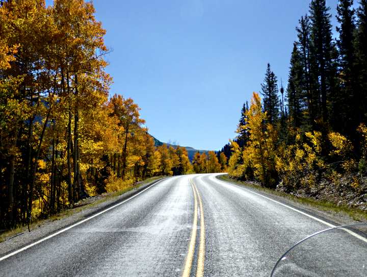
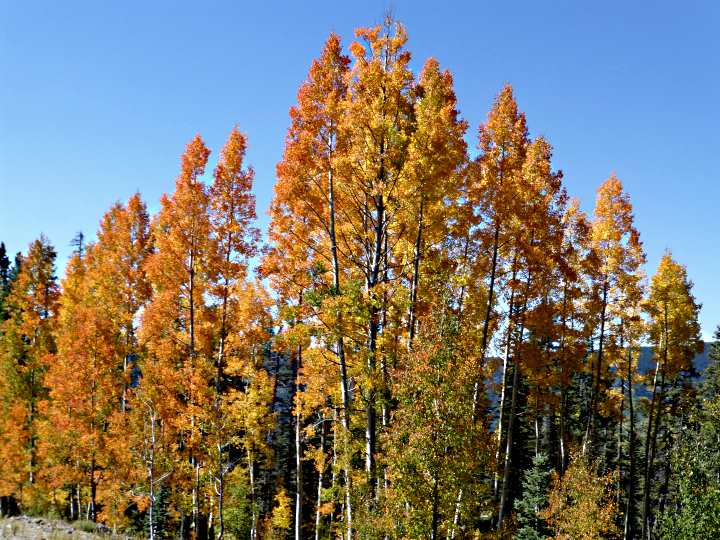
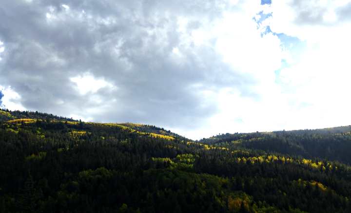
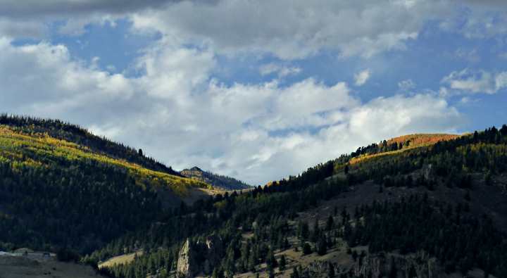
The fall colors going to Silverton, in Silverton and on to Durango were unbelievable.
We were soon on our way and ....
...... had two more passes ....
..... to go over before ....
..... dropping down into Durango.
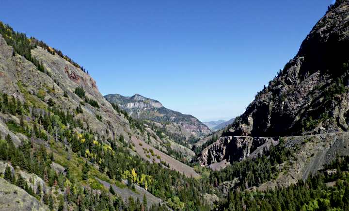
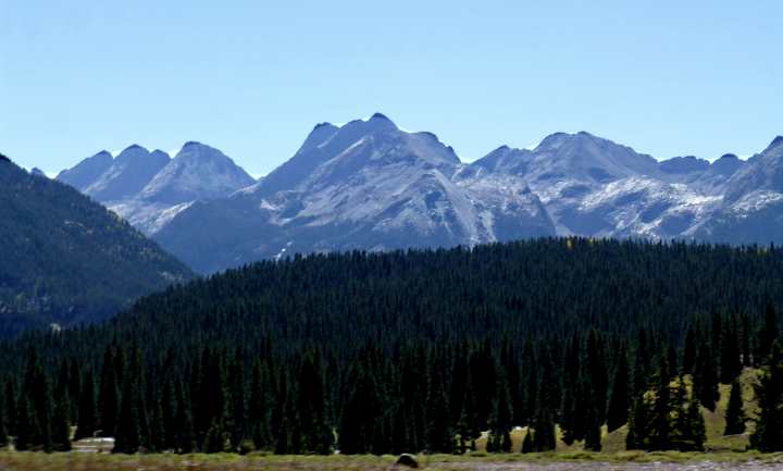
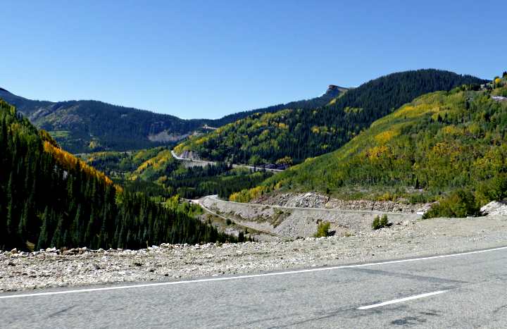
The first was Molas Pass (10,970 feet) and then not too much further on was Coal Bank Pass (10,640 feet). I've been over a lot of high western highways and in my opinion this stretch of road between Durango and Ouray is the premier mountain highways in the U.S.
After more miles of beautiful scenery, we stopped in Durango. Dottie wanted to check out some sunglasses she was interested in and we found a sporting goods store there that carried them. I took the opportunity to use the store's dressing room to remove my long-underwear bottoms as the day had turned hot, with temps in the higher 70's at the lower elevations. We found we were most comfortable if we dressed in layers, as one experiences a wider range of temperatures traveling on a bike vs. in a car. It was past noon, but we weren't that hungry so decided to put off lunch until we got to Pagosa Springs, 60 miles to the east.
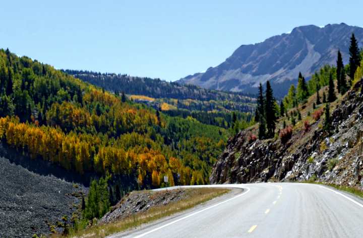
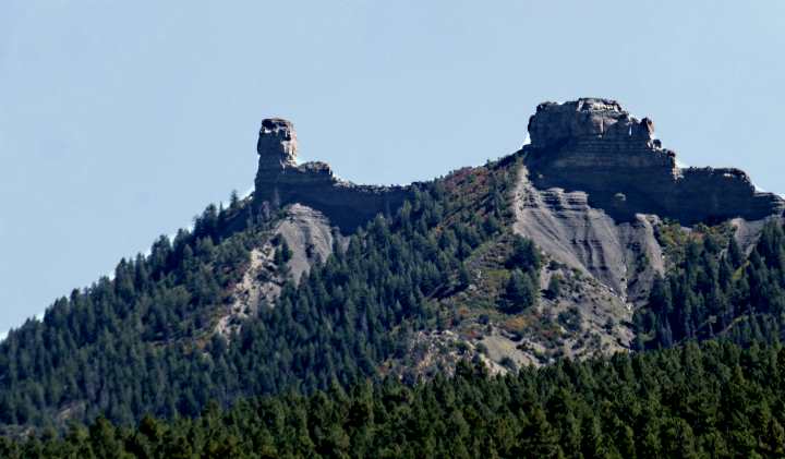
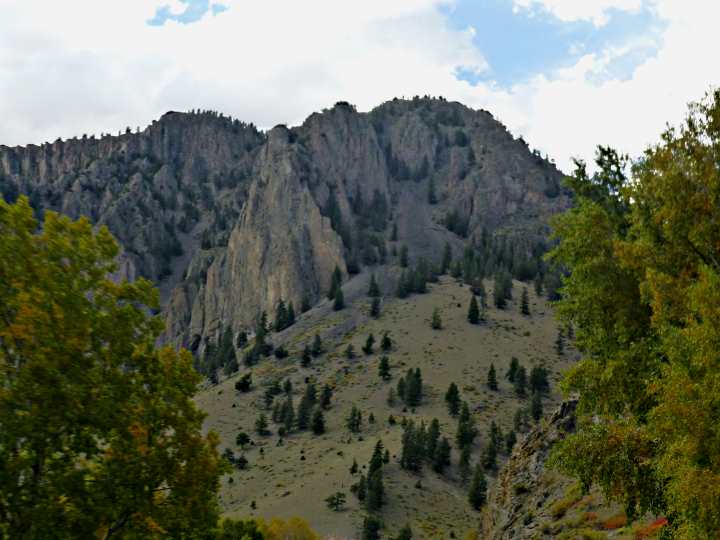
The ride to Pagosa Springs took us in and out of one little valley after another in the foothills to the south of the San Juan Mountain peaks to the north. We also passed buttes to the south of the highway, such as Chimney Rock, above. We stopped at a small burger place in Pagosa that has a porch overlooking the San Juan River. I'd eaten there before and it wasn't as good as I remembered and the San Juan was more "creek size" than "river size" this time of the year.
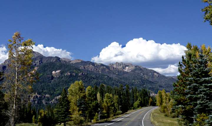
Leaving Pagosa behind, we continued east toward South Fork, CO, with the road following the San Juan toward the river's headwaters. We are more familiar with the San Juan as it looks 20 miles to the south of where we live, as it flows by Bluff, Utah. It was good to see where it originates. Not too far past Pagosa, the highway leaves the San Juan River Valley. It climbs rapidly to the 10,856 foot elevation of Wolf Creek Pass and then plunges down the east side of the pass towards South Fork, CO.
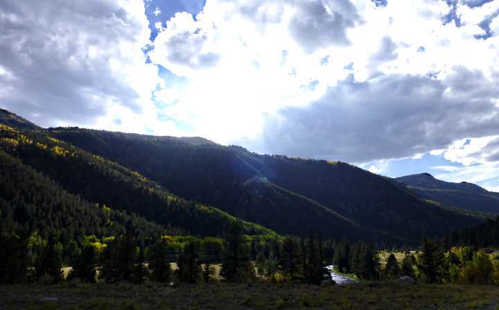
Once in South Fork, we turned north on Highway 149, a highway that I had never really paid any attention to before while traveling in this area. Before the trip, I started reading about it and Dottie and I decide we wanted to ride it from its southern end at Highway 160 to its northern end at Highway 50, a distance of 118 miles.
Starting from the south, we followed the Rio Grande River ....
....towards its headwaters, which are high in the San Juan's, not that far from Silverton, CO.
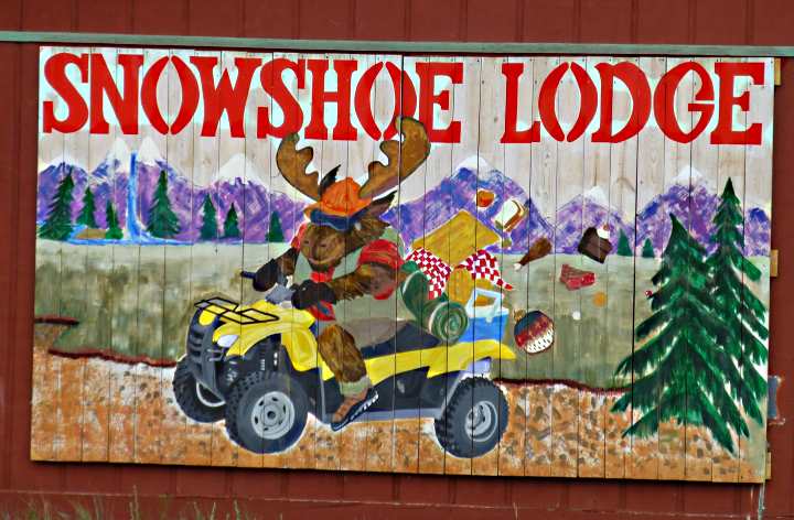
Our destination for the night ....
.... was the town of Creede, CO, about 22 miles up the valley past South Fork, CO, where ....
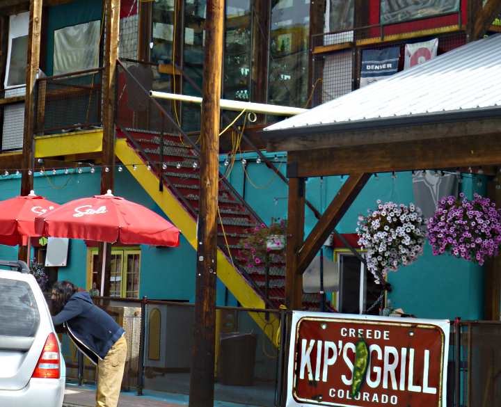
..... we had reservations at the Snowshoe Lodge. After checking into our nice room, complete with a small kitchen and living area, we walked a few blocks away and had a nice dinner at ...
..... Kip's Grill. We chose to eat on the patio outside. After dinner it was back to the room to turn in for the night. It had been a long day and even though we were both beat, the trip had been more than we could have ever hoped for.
==============================================================
...........................One.........Next Page If There Is One