........................... Return to Sumner's Home Page....
... Return Suzuki 650 Main Menu.... Return Vail, CO Trip Menu
==============================================================
............Previous Page...............................Next Page If There Is One
==============================================================
--- Day 4 -- Grand Junction, Colorado to Blanding, Utah ---
.......--- The World's Only Canyon With Two Mouths ---
==============================================================
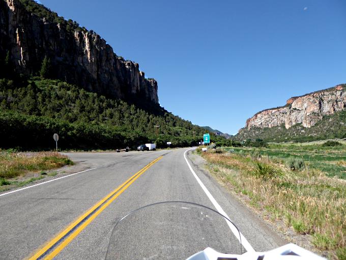
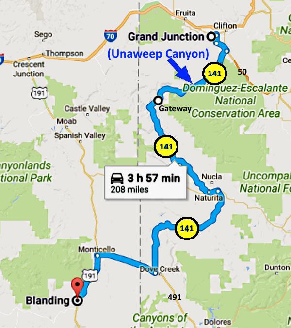
I've lived in the 4-Corners area for about 27 years and have known of the back way into Grand Junction via highway 141 for most of that time. After just taking this route I can't believe that I'd waited this long to do it. You can take this highway (141) to Junction from the Moab area, the Cortez, CO area and from where we live between Moab and Monument Valley. This is one scenic route and a great one on a bike. We passed a number of bikes while on the north part of 141.
We headed south from the motel through the main part of Grand Junction and hooked up with highway 50 on the south side of town. It took us across the Colorado River just east of where the Gunnison River meets it. Grand Junction is named after this junction of the Colorado River and its largest tributary, the Gunnison. Not very far south of Junction we left 50 and turn right onto 141 which we would remain on until about 40 miles from home.
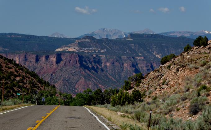
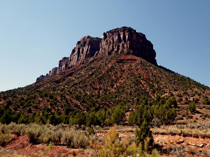
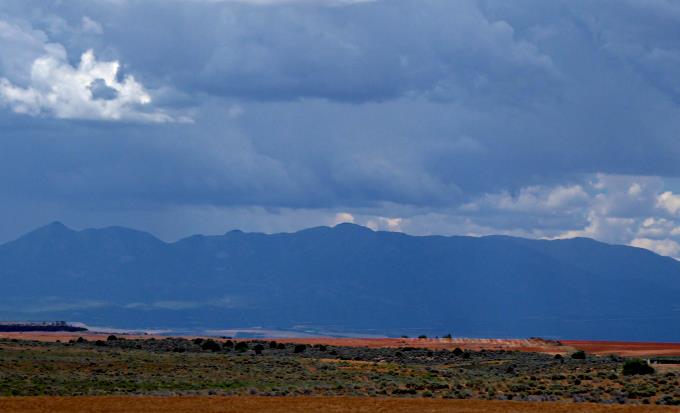
The road heads at first in a southwest direction, climbing in a small canyon, but soon you gain elevation and the canyon widens out into a spectacular canyon with ....
.... a wide flat floor and cliffs towering 1000 feet on either side. I'd heard of this canyon before but had never seen it. The Ute Indians named it Unaweep, meaning canyon with two mouths. It is the only canyon in the world with two mouths. Water flows to the east out of it and also to the west out of it with a pass in the middle that is just a low pass between the east and west sections of the canyon. The pass is so flat that you don't even realize you have left East Creek's drainage and entered West Creek's drainage.
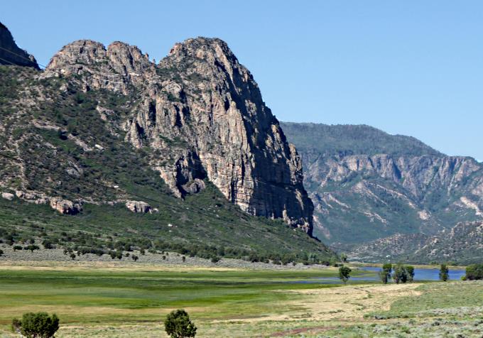
According to recent geological hypotheses the canyon was formed about 300 million years ago and then buried over time. Then about 5 million years ago the Gunnison River started cutting its way through the Uncompaghre Plateau and uncovered the canyon again. The theory is that the Gunnison was then blocked by landslides which diverted the river north to near its present location where it joins the Colorado River at Junction.
Now what is left, is an immense canyon with two very small streams in it and the occasional pond as shown above. Streams that could have never cut the canyon out of the metamorphic granite/gniess mass that now makes up the towering walls on either side of the canyon.
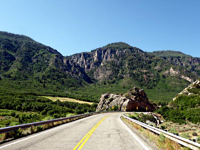
As the road heads west it ....
.... hastens its decent towards the Delores River and ....
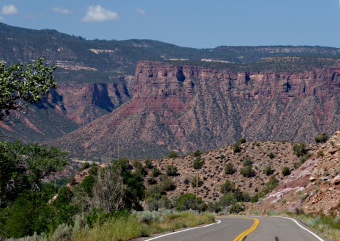
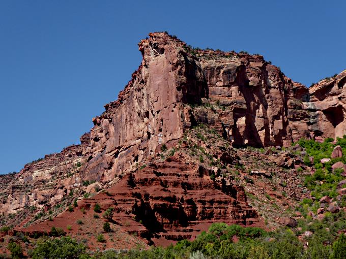
..... leaves the granite cliffs behind and heads down into red-rock country. You get a glimpse of the La Sal Mountains that lie between here and Moab, but .....
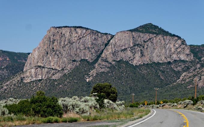
..... soon you are too low and the mesa tops block them from view.
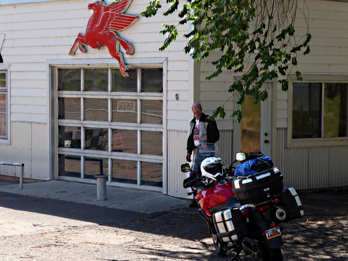
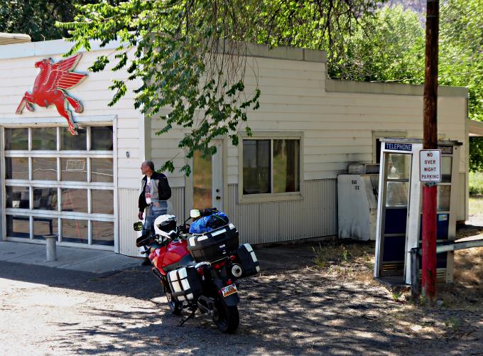
At the bottom of the hill you arrive in Gateway, which is situated next to the Dolores River.
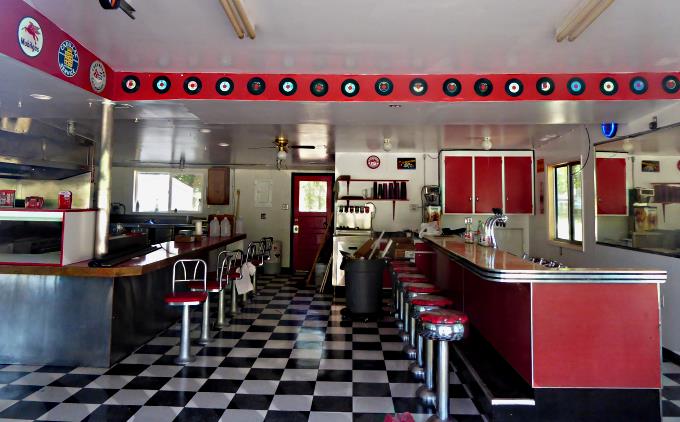
We took a break by this former gas station that ....
.... has been turned into a retro restaurant. It was closed and looked as if it had been for some time. Probably not enough traffic on this road to keep it open. What a shame, as it would of been a nice place to stop and get a burger and a cone.
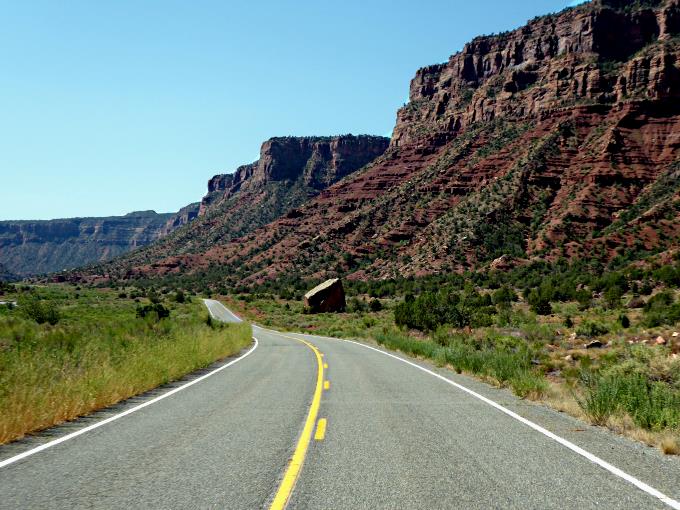
Heading south out of Gateway you follow the Dolores River for some time. We were headed south on 141 and it was headed north on its way to meeting the Colorado River near where highway 128 from Moab to I70 crosses the Colorado.
The stretch of the road is every bit as scenic as the River Road (128) from Moab to I70 along the Colorado.
The Dolores isn't as big as the Colorado but still it has carved out a magnificent canyon over time. The Dolores starts just south of Telluride near Hermosa Peak and heads towards Cortez, CO. There it turns and runs north to join the Colorado River. A run of about 240 miles from its headwaters high in the San Juan Mountains. This section of the Dolores has considerable water in it as the undammed San Miguel River flows into it after descending from Telluride, CO.
Part way along this stretch there is an overlook that we failed to stop at. If you do you can see the confluence of the San Miguel and the Dolores rivers. Past this you are following the San Miguel. Not far before you get to Naturita, CO highway 90 comes in from the right. If you are going to Moab or coming from there this is where you would join 141. We stayed on 141, now 141/90 on past Naturita for a few miles to the fork in the road where 90 continues east. There we turned off to the south and stayed on 141.
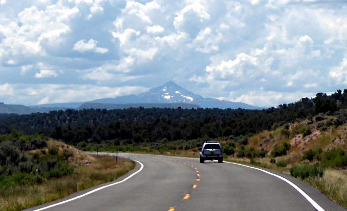
You climb up out of the San Miguel Valley and soon the mountains to the east are in view. Above we see Lone Cone and out of the picture to the left would be the mountains that ring Telluride. This section of 141, despite the car above, has very little traffic on it.
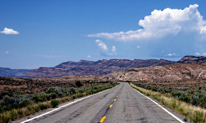
After a bit you find yourself in Disappointment Valley, where you drop once again on your way to the Dolores River. You cross it and begin a steep climb to the south on the tightest switch backs of the trip. Finally you top out on a high mesa that extends from Monticello, UT to Cortez, CO with the Dolores drainage to the north and east and the Montezuma Creek drainage to the south and west.
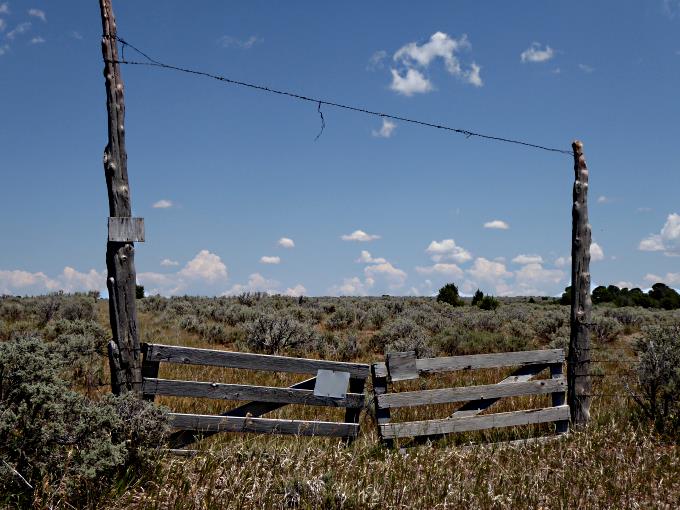
Our butts were sore so we made one last stop along the road. This gave Dottie the opportunity for some more picture taking. She is the official trip photographer and took all the pictures you see on this trip, good job sweetie!!
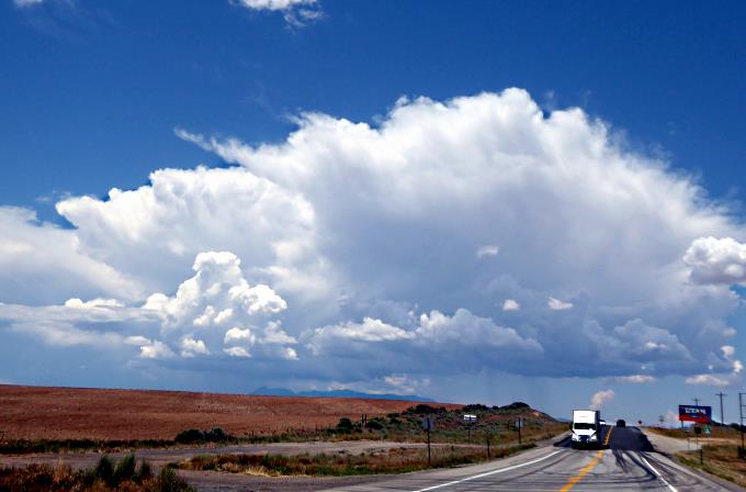
After a short distance on 141 we found ourselves at Highway 491 which connects Cortez, Co with Monticello, Utah. Monticello is just 21 miles north of our home in Blanding. With threatening clouds forming over our mountains just to the west, we conferred if we should put on our rain gear. Being so close to home we decide against it and passed back into Utah, as shown above.
After about 20 minutes, we made it into Monticello without any rain. Monticello is located at the base of the Blue Mountains on their east side and Blanding is just to the south of them. We turned south on 191 and the 21 miles to home passed quickly.
It was another wonderful trip on the bike with a lot of spectacular scenery and two places like no other in the world. Any or all parts of this ride are well worth taking if one has the opportunity.
==============================================================
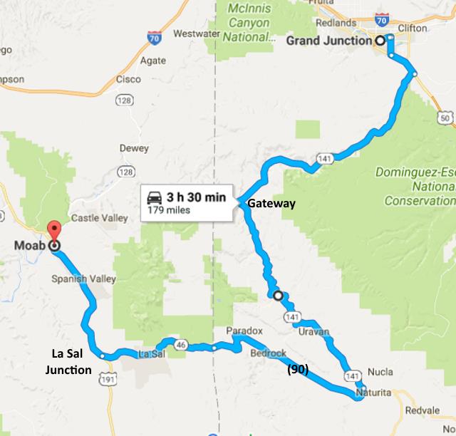
--- Alternate Route Between Moab, UT and Grand Junction, CO ---
If you are riding between Grand Junction and Moab and have a couple extra hours take the route shown above. It is much nicer than boring 191 north to I70 and I70 east to Junction or the other way around. If you must take that route at least take the 128 route out of Moab along the Colorado River as described on the first page of this trip report. The route above was made for a bike and the road and the scenery will make for that perfect day on your bike.
==============================================================
...........................One.........Next Page If There Is One