........................... Return to Sumner's Home Page....
Return To Suzuki 650 Main Menu.... Return To Bryce Canyon Trip Menu
======================================================================
............Previous Page...............................TThis is the last page
======================================================================
........................................--- Day 4 ---
..................--- Torrey, Utah and Home to Blanding, Utah ---
======================================================================
............Previous Page...............................TThis is the last page
======================================================================
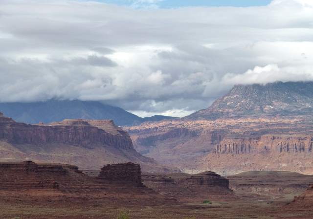
In the morning we had the now familiar "Continental Toast Breakfast". Then it was off to check the Internet for any weather radar we could find for the area, as it was raining slightly outside. On radar, a cell was showing up from Torrey on over to Capitol Reef. That was the direction we were headed, so we decided to wait a bit. The radar also indicated a break in the weather from Capitol Reef on east to just west of Blanding (our home).
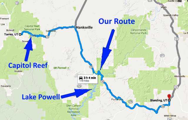
After waiting a bit, it looked like the storm in our area might be passing, so we were off and going. We caught a little bit of the end of the cell as we left Torrey and passed through Capitol Reef. We then found the road dry on into Hanksville, where we stopped and gassed up for the 126 mile run home.
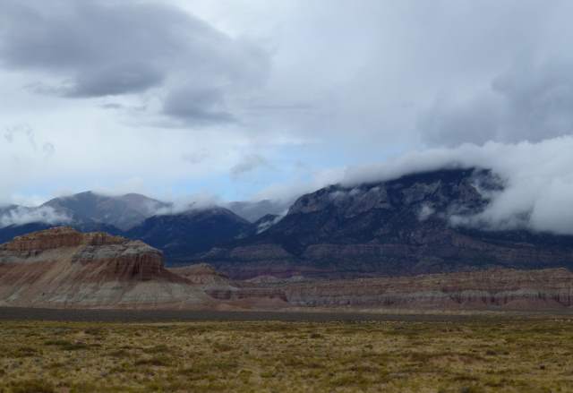
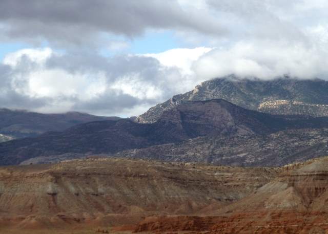
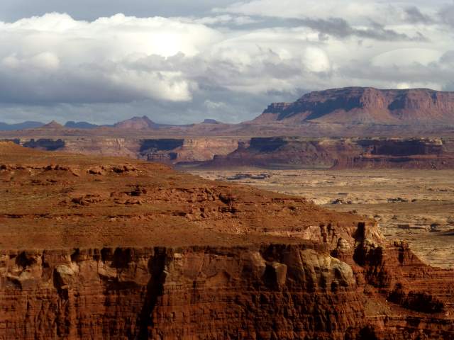
Heading southeast on 95 towards home, we found the nearby Henry Mountains cloaked in clouds.
The Henry's are southwest of Hanksville and to the west of Highway 191 as you drive southeast to Lake Powell. They are made up of three groups of peaks north of Highway 276 (the road to Bull Frog at Lake Powell), and two groups of peaks south of the highway. The northern group is the taller, with Mount Ellen reaching an altitude of 11,522 feet above sea level. They have the distinction of being the last explored and named mountain range in the Continental United States. They also have one of the only free ranging herds of Buffalo in the U.S.
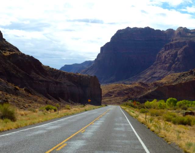
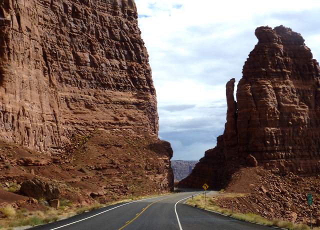
South of Hanksville, Highway 95 follows North Wash Canyon down to Lake Powell, where it crosses the Colorado River.
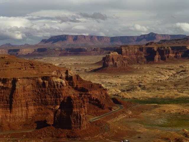
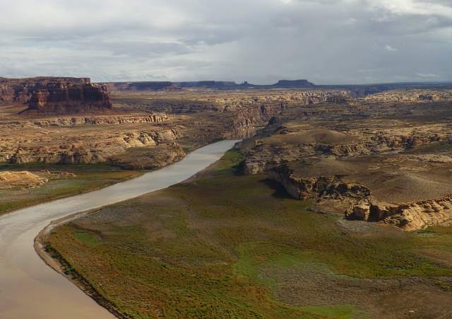
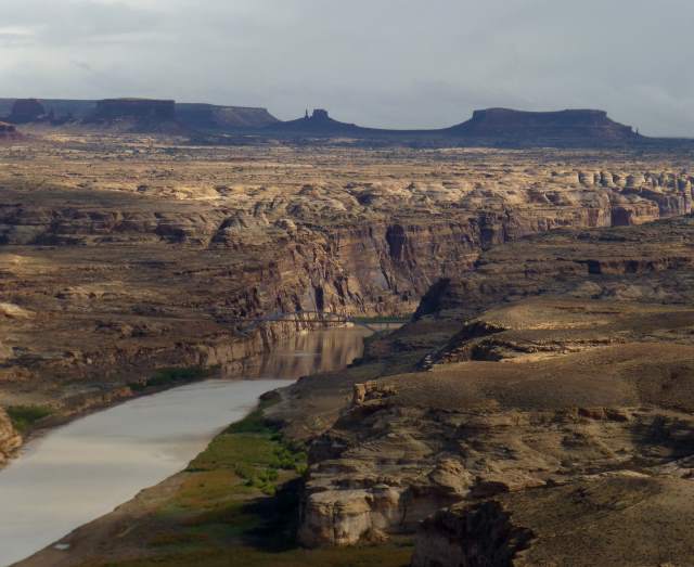
We again stopped at the wonderful view area just off Highway 95 ....
.... with its views of the Colorado River and ...
.... the upper end of Lake Powell with the highway bridge over the river.
The clouds added to the great views, but were reminders of the rain that was in the area. About 50 miles out of Blanding, near the entrance to Natural Bridges National Monument, we ran into rain and the air temperature dropped as we gained elevation from Lake Powell's 4,000 feet towards the 6,000 feet in elevation at home. This proved to be the hardest rain we had run into on the bike. We were staying dry, but still looked forward to soon being home.
The rain let up as we passed through the road-cut at Comb Ridge to the west of Blanding, only to resume some on the other side. It mattered little though, as we were home within 15 minutes.
It was a great trip on the bike, one that both of us enjoyed immensely along with one another's company. It was probably our last long trip of the fall, but we weren't quite ready to permanently put the bike away for the winter.
======================================================================
...........................One.........This is the last page