........................... Return to Sumner's Home Page....
Return To Suzuki 650 Main Menu.... Return To Bryce Canyon Trip Menu
======================================================================
............Previous Page...............................Next Page If There Is One
======================================================================
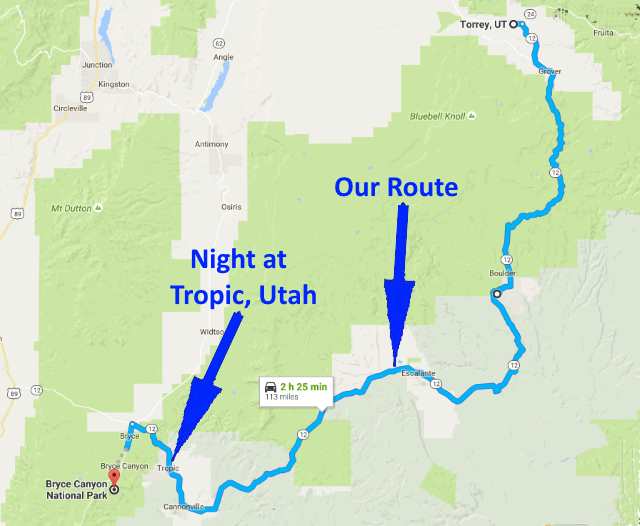
........................................--- Day 2 ---
--- Torrey, Utah to Bryce Canyon National Park and then Tropic, Utah ---
======================================================================
............Previous Page...............................Next Page If There Is One
======================================================================
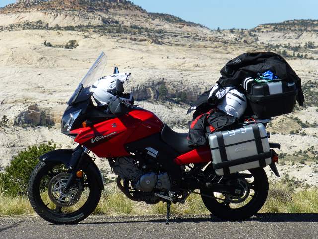
We left the motel heading for Bryce a little after 9 when it had warmed up a bit. Our gear was keeping us warm and we never did put on all that we had taken with us during the trip.
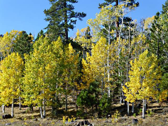
Just out of Torrey, headed for Boulder first, the road quickly gained elevation and we were soon in the trees.
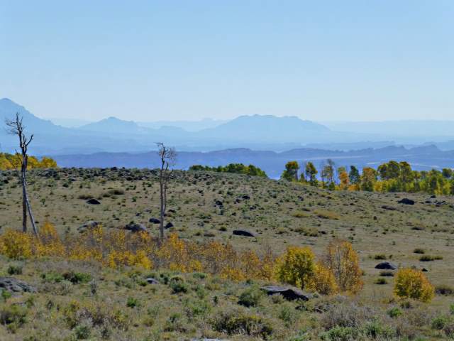
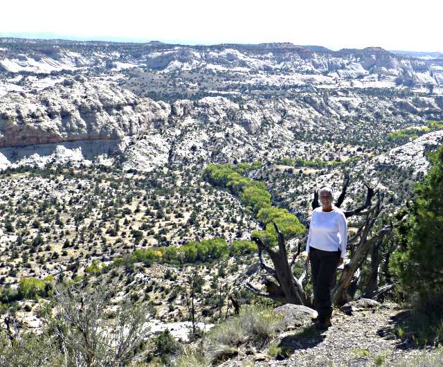
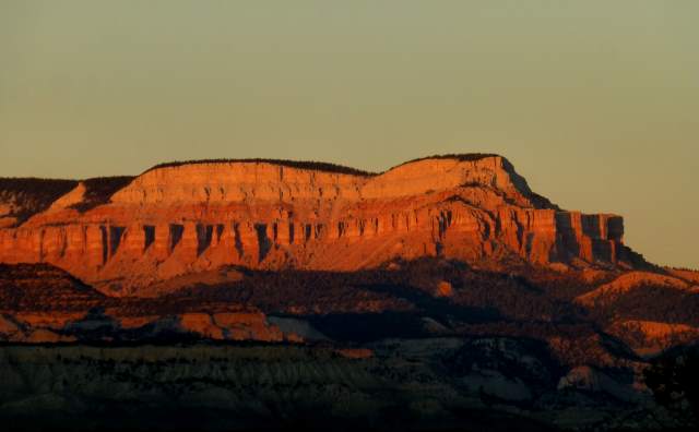
We were treated to some tremendous views back to the east overlooking Capitol Reef and the Henry Mountains beyond, and even as far as the La Sal mountains to the east of Moab, UT. In the view above, we are looking at Capitol Reef (ridge-line mid-picture), the southern Henry Mountains beyond, and the mesas in the far distance, near Natural Bridges National Monument.
Highway 12 took us further up Boulder Mountain into more and more fall color. It wasn't quite as spectacular as the color we had seen the week before on our 750 mile bike trip to the San Juan Mountains of southwest Colorado, but still very nice.
The highway rounded the east side of Boulder Mountain and dropped a bit into the town of Boulder, Utah. Coming back this way the next day, we would take a side trip out of Boulder to the east on the beautiful Burr Trail, but for now we continued on 12 towards Escalante, Utah.
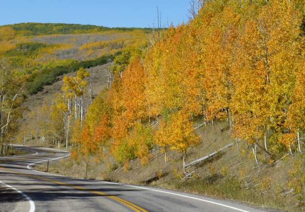
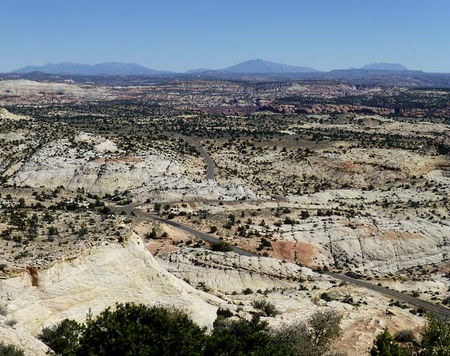
A week earlier we were on what Colorado called "The Million Dollar Highway" between Silverton, CO and Ouray, CO. Now we were on Utah's "Million Dollar Highway" between Boulder and Escalante. Before it was built there was no year-around road between the two towns. Work was started on the road by the CCC in 1935 and in 1940 the road was completed and the two towns now had an all-season automobile road connecting them.
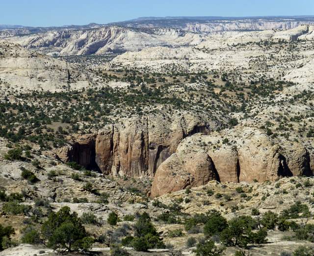
We stopped a number of times ......
..... and enjoyed .....
..... the many wonderful views the road had to offer. If you are in the area this is a must see route to take and a great road on a motorcycle.
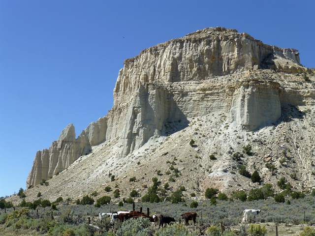
After Escalante we first passed Henrieville and then Cannonville .....
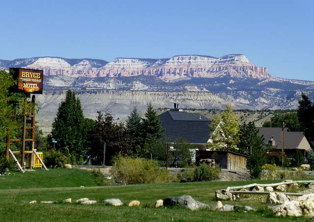
..... before arriving in Tropic, UT, where we had booked a room for the night at Bryce Pioneer Village. We were able to get into our room and drop off the side bags from the motorcycle there before continuing on .....
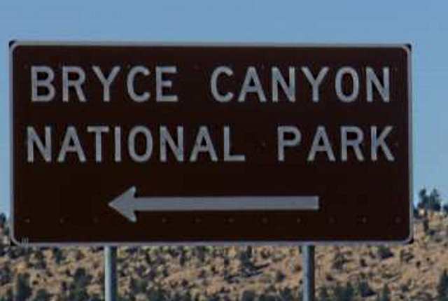
..... to Bryce Canyon National Park, about 10 miles past Tropic. Entering the park, there were signs saying that due to the number of people in the park with cars, they were advising people to park and use the buses that shuttle people around the park. We asked if we had to do that as we used our Golden Eagle Pass at the entrance. The lady there said we didn't have to take the buses but we might not find parking at the overlooks. Nice thing about being on the bike was that we always found parking, since we didn't need a full-size car parking space.
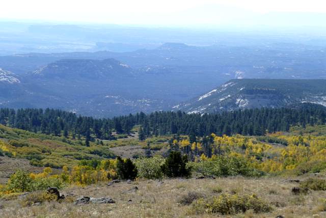
We decided to go as far south as we could in the park and then work our way back north to the entrance, which worked out great. The road goes as far south as Rainbow and Yovimpa view points but was closed at Agua Canyon overlook, so that is where we turned around and started working our way back north.
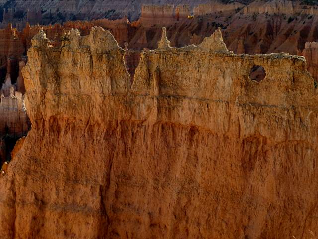
Every overlook offered up another great view.
We worked back north and were going to go out the road to Bryce Point but they just closed it as we arrived.
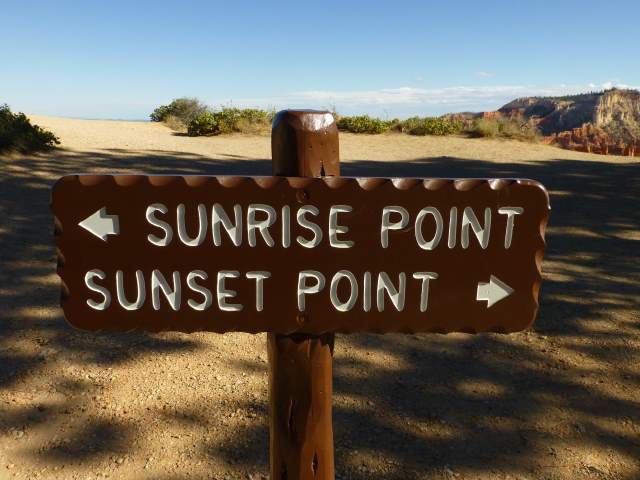
We then pulled into the parking area at Sunset Point and parked the bike there and walked over to the canyon edge.
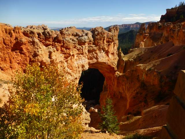
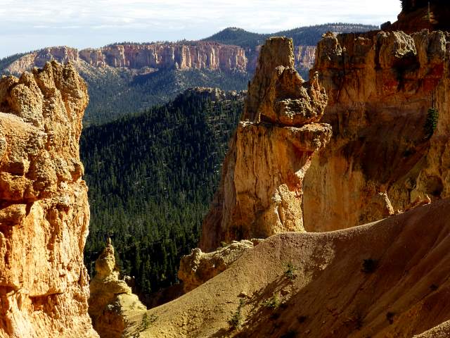
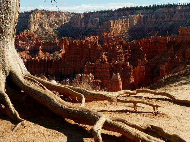
There was a trail there, going south to Sunset Point and north to Sunrise Point. We wanted to walk down into the formations below and it looked like the trail at Sunrise Point might be the better one for us to take, so headed in that direction.
The rim trail offered some wonderful views and .....
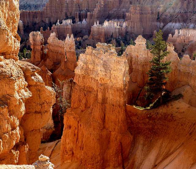
..... as we descended down the trail that took us below the rim ....
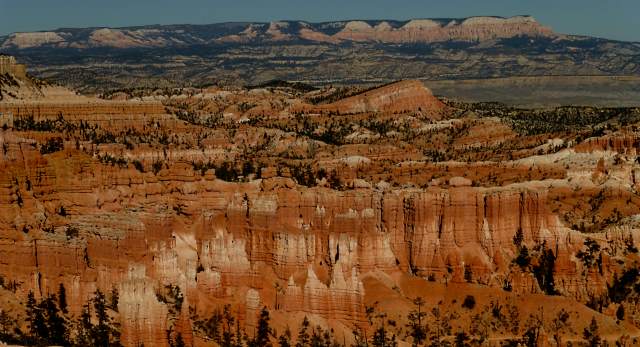
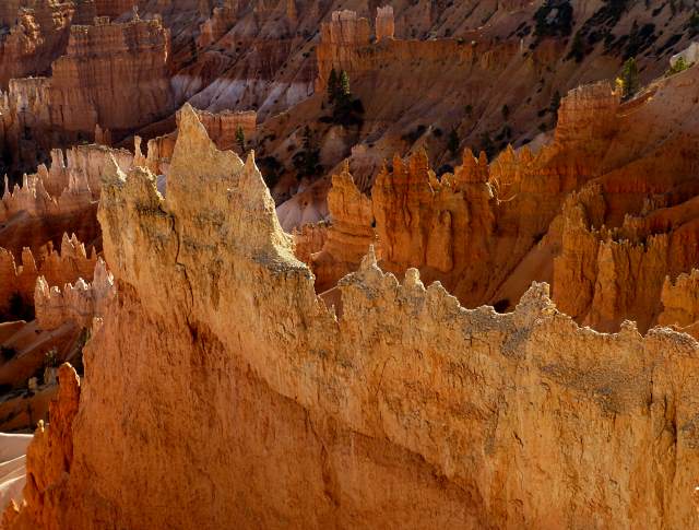
.... we were treated to more and ....
.... more spectacular views one after another.
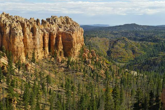
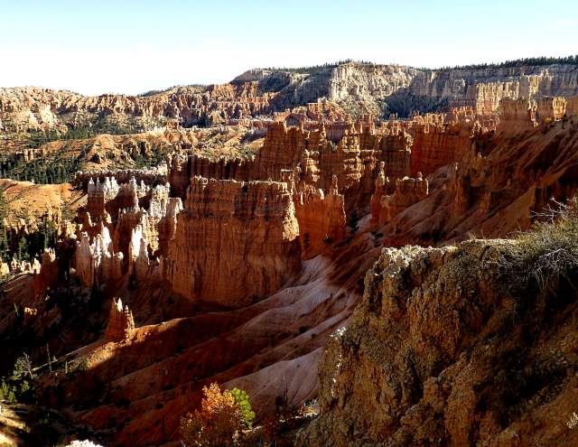
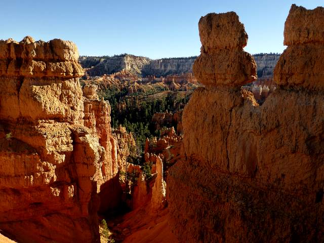
We now found ourselves right in the midst of beautiful rock formations and .....
.... as the sun receded in the sky the lighting on the formations became surreal.
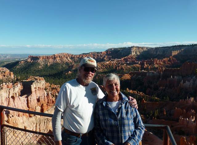
We returned to the rim and the observation platform at Sunrise Point with the light receding on the canyon behind us.
Wanting to get back to the motel while it was still light, we left the park and made the short ride back to Tropic and took in the last of the sunset from the motel. Dottie took advantage of the jacuzzi and afterward we had nice simple dinner at the restaurant on the grounds of Bryce Pioneer Village, where we were staying.
======================================================================
...........................One.........Next Page If There Is One