…................MacGregor Index Page.............. Lake Powell Trip Index Page
................................Previous Page........................................Next Page If There Is One
=========================================================
|
.............--- Lake Powell – Mon/Thur – Sept 25th to 28th --- .......Halls Crossing Dock (Monday) ------------- N 37º 27.86´ .......................................................... W 110º 43.06´ .......Beached Boat (Tues, Wed, Thur) ---------- N 37º 29.15´ .......Across from Moki Wall---------------------.W 110º 39.51' .................................................................................................................... .......................Road Trip Mileage to Lake = 90 miles ...............Motored to start of sailing and to anchorage = 1.5 miles …...................................Sailed = 7 miles…...Sailed up lake = 7 miles |
=========================================================
.Back in September/October of 2009 Ruth and I had tried to sail the length of Lake Powell (about 145 miles). The goal was to only sail, no motoring or motor-sailing, the entire distance. At the end of the day sailing we would mark our position with the GPS and motor if necessary to an anchorage or a place where we could beach the boat for the night. The next morning we would return to our GPS way-point and continue sailing towards the end of the lake at Hite.
We were on the water for 18 days and made it to Halls Crossing/Bullfrog about 95 miles up the lake and the only place you can take out after leaving the Page area. We were delayed by weather on some days and I also was injured at one point and sustained a small fracture at the top of my shoulder and 3 of the 4 muscles that make up the rotator cuff were screwed up and the ligament at the top of my shoulder was torn. After the injury we did make it under sail only to Halls Crossing, but quit there. You can find that trip report ( HERE ).
For some time my goat has been to finish the last 50 miles of that trip, but Ruth and I went on to other trips and eventually I lost her when she passed in 2014. I was then blessed a second time when Dottie came into my life and also enjoyed the idea of sailing. We took a wonderful trip with the boat to Flaming Gorge in Wyoming in 2016 and then planed this trip for Sept./Oct. Of 2017
With that background let's begin the quest to sail the last 50 miles of Lake Powell to where the Colorado River enters the lake at Hite.
....................
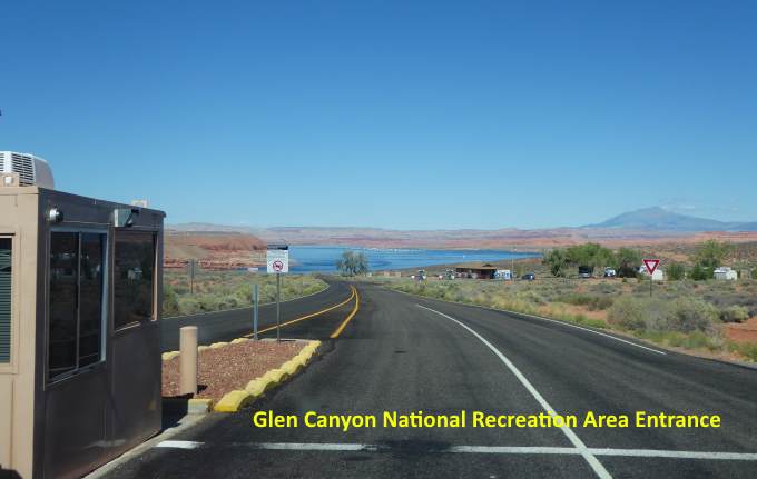
Before the trip we spent a few days doing some small mods to the boat. I had a second higher reef point put into the main and added single line reefing for that point similar to what I had done for the first reef point. We got the water, gas, food and other supplies loaded at home and made our way 90 miles from our home in Blanding, UT to Halls Crossing on the east side of the lake where there is a ramp.
....................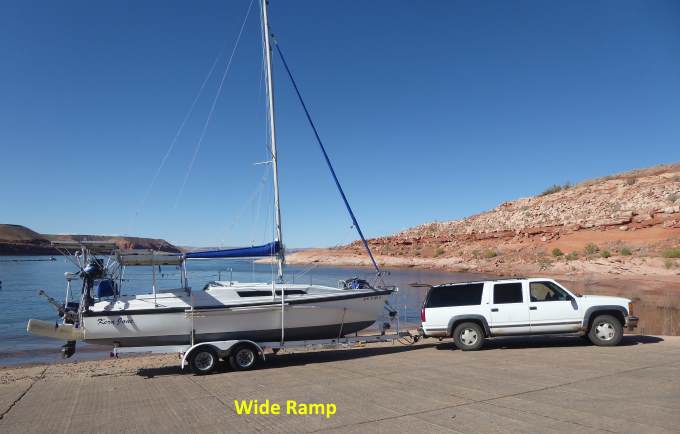
We got to the ramp about 1:00 PM and took our time getting the boat rigged prior to launching. Being in my early 70's now the rigging process takes longer. By the time we had the boat rigged and the anchors and rode bags on the bow and the inflatable Zodiac setup and ready to go it was about 5 PM. It was interesting that the ranger working the ramp area said that we were the first sailboat he had seen all summer and fall. It is a shame that more people don't take their sailboats to the lake. It has probably the best canyon country scenery in the world and there are lots of times that you can sail and if you don't have a lot of time on the lake just motor and enjoy the secenery.
....................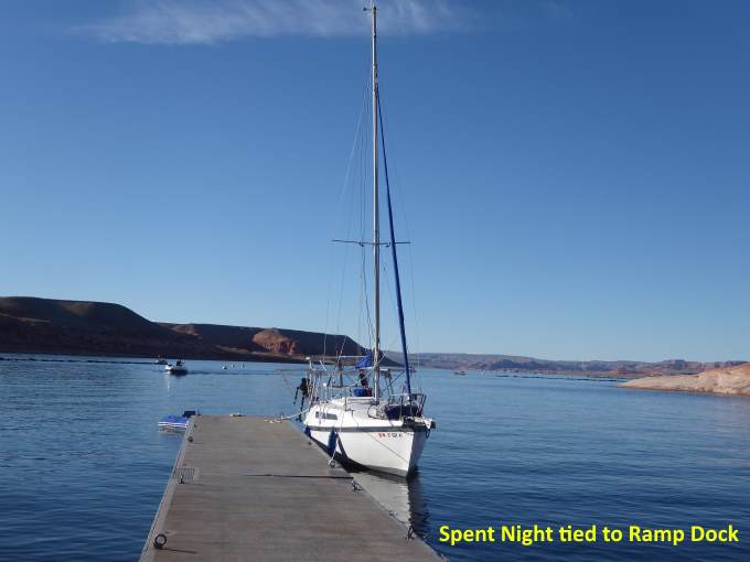
We then realized that we had forgotten to buy bread and bananas before leaving town. We drove up to the little store/gas station by the entrance to the area but they had closed for the night. We were tired and boats had stopped coming into the ramp so decided that we would just stay tied up to the dock for the night and see if we could buy bread in the morning. Hopefully no one would come and tell us we had to get off the dock.
....................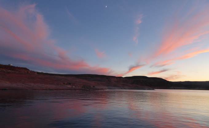
We had our first pretty sunset of the trip that night. In the morning we drove up to the store and since it was late in the season they had no bread or fruit. We also drove down to the marina store and had the same results. We did find some English muffins and crackers and later in the trip felt that the muffins and crackers actually worked out better than bread would of.
....................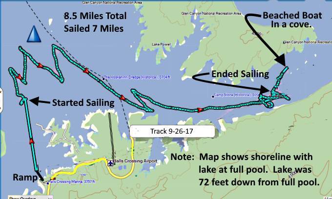
So off we went. We motored a short ways out into the lake and headed in a northerly direction towards Hite. The start of the trip proved to be challenging as would other parts of the trip. I had originally decided to try sailing from Page to Hite as that would mean the general direction would be southwest to northeast. The prevailing winds are usually from the southwest so this course would increase the chances of running vs. tacking into the winds. Of course the lake winds back and forth and the winds aren't always from the southwest so a number of days didn't prove to be days running before the wind. On this trip for some reason we had to deal with north and northeast winds which are rarer in this region.
This day would prove to be the first of those. We spent the first hour or more more or less just floating around in no winds. Then we started getting some NE winds and had to start tacking right off the bat as you can see above.
....................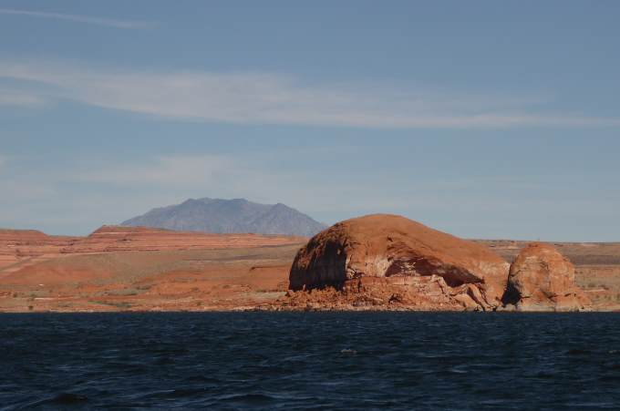
According to the GPS we sailed over 8 miles but only made it up the lake about 7 miles the first day.
....................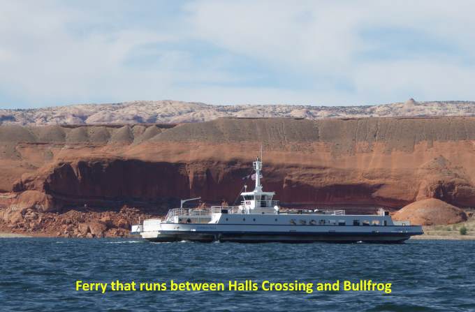
The car ferry that runs between the Halls Crossing side and the Bullfrog side passed us at one point.
....................
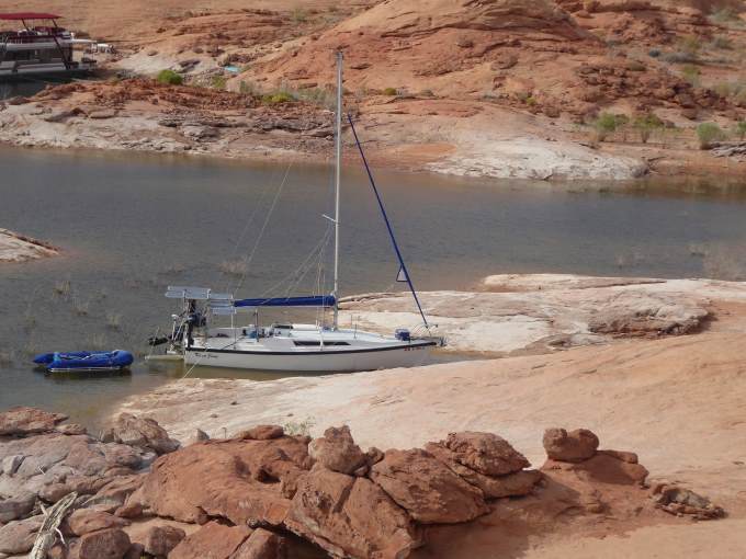
We didn't have a destination for the night or for any other night for that matter as we didn't know how many miles we might make any day. We would try and stop a couple hours before dark so that we would have time to find a suitable location to beach the boat. After my experiences anchoring on the previous trip to the lake I decided that we would try to beach the boat every night as long as we found a suitable location.
Anchoring is not easy on this lake due to the sudden deep drop-offs just off shore and the fact there can be submerged trees in other locations. The Mac beaches easily since it has a swing-up centerboard and rudder and can run into 20” water with the shallow draft afforded by the water ballast.
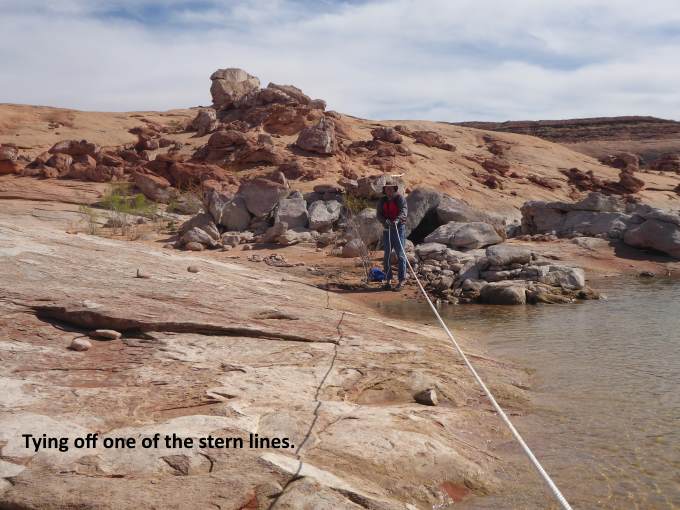
We would usually find a short length of shoreline that was sand and run the bow up onto the sand. We didn't need a very wide patch of sand to do this, just a few feet of sand would do. With the bow on the sand we would tie the bow off to a bush or rock if that was available or take the anchor ashore a ways. I'd also usually tie the stern off to the shore on one side and the other to keep it from being blown around into the shore if a wind came up.
..................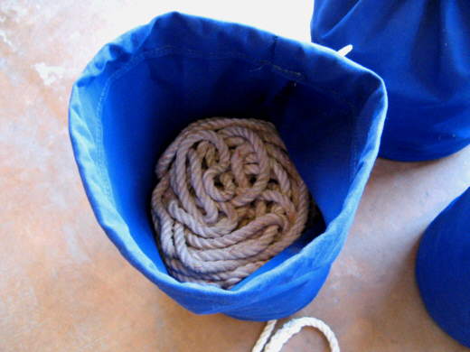
For shore lines we use two 200 foot 3/8” 3 twist nylon anchor rodes from West Marine and one 200' 1/2” line. We used cheaper poly lines once but I didn't trust them so bit the bullet and moved up to much better lines. We also carry a spare Fortress FX-11 anchor broke down and another anchor rode made up of 7/16” 3 twist nylon line with 25' of chain.
..................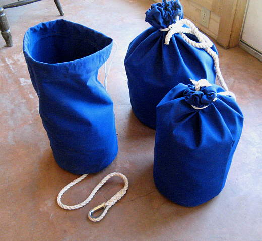
Some years back Ruth sewed up the bags using instructions from Sailrite's site. They aren't that hard to do.
..................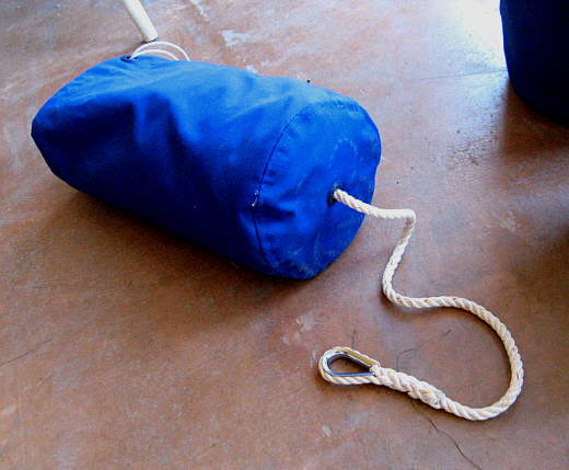
The tail comes out the bottom of the bag but usually we never have the whole line out of the bag. The bags work great as you just stuff the line into them and it always comes out without tangling or knotting on itself. Some of the times I'll have the bag onshore, but it usually is faster to leave the bag on the boat. Then when you go ashore to release them the person on the boat can be stuffing the bag while you go to undo the next line. With the rode bags we can tie the boat down or release it fairly quickly, usually around 5 minutes.
....................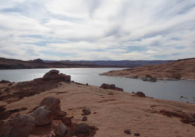
With the boat secured we took a short walk …..
....................
..... up onto the rocks by the small bay where ….
....................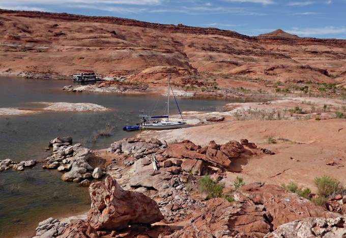
..... we had a view of the boat and …..
....................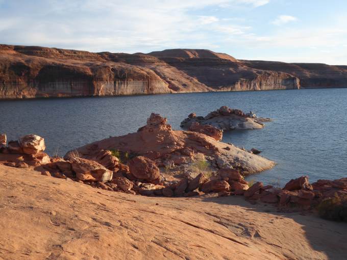
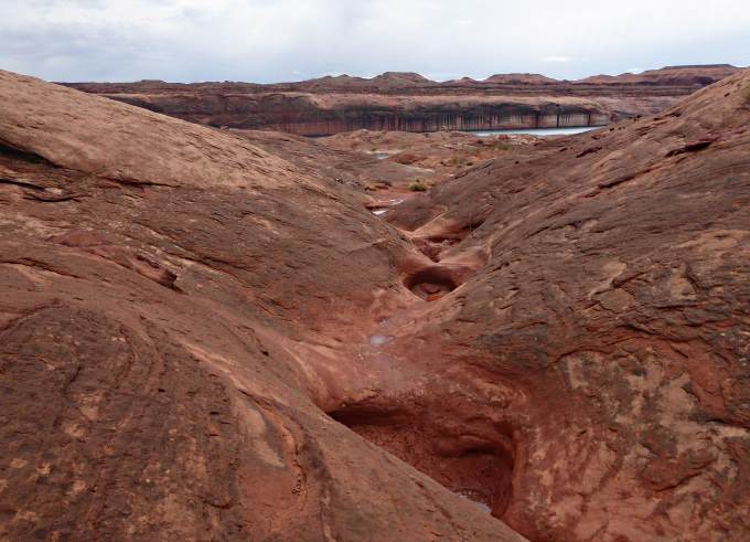
...... the main lake channel. Rain was predicted for the next two days so we decide to stay where we were as we liked it.
....................
The two days we remained there we......
....................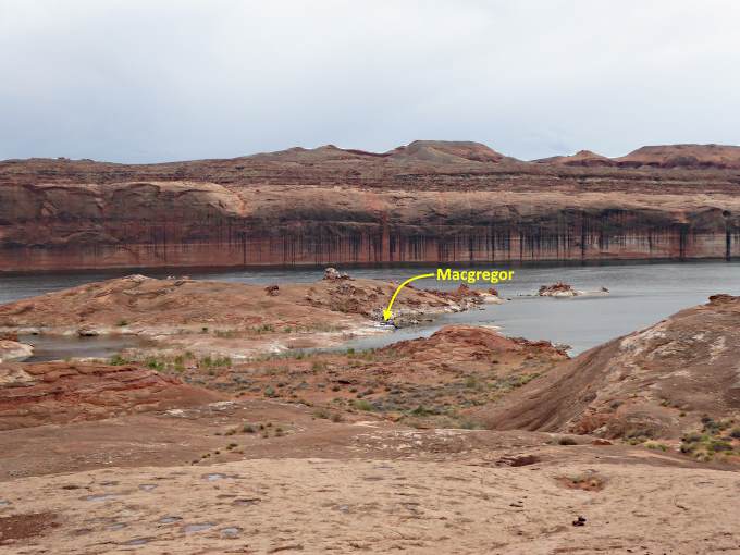
........ took some hikes up to higher ground.
....................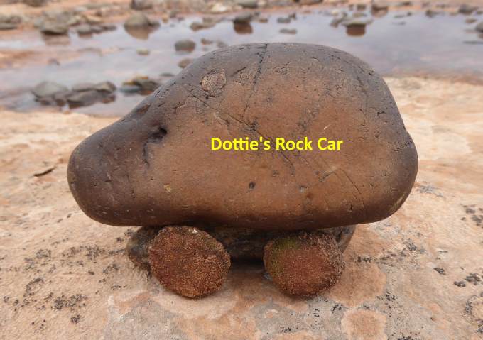
On one Dottie found a cute little 'rock car'.
....................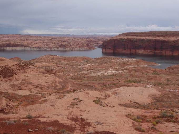
We kept climing higher and higher on one until ….
....................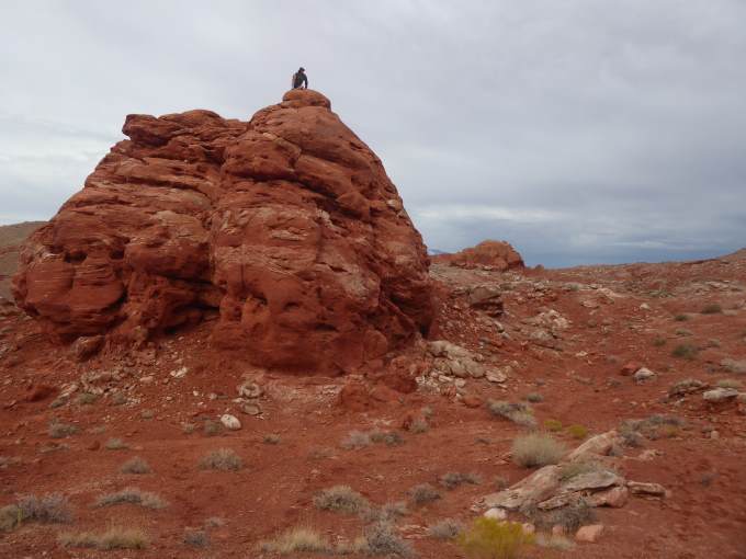
..... we topped out on top of a rock formation where....
....................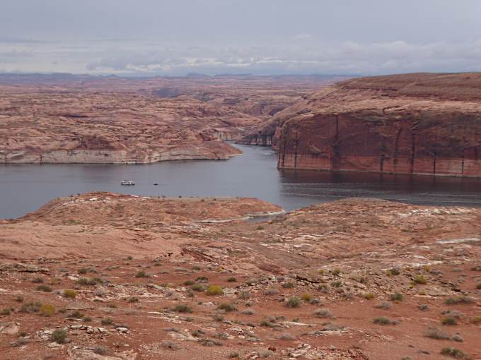
..... we had a great view back down over the lake and the side cove we were beached in.
....................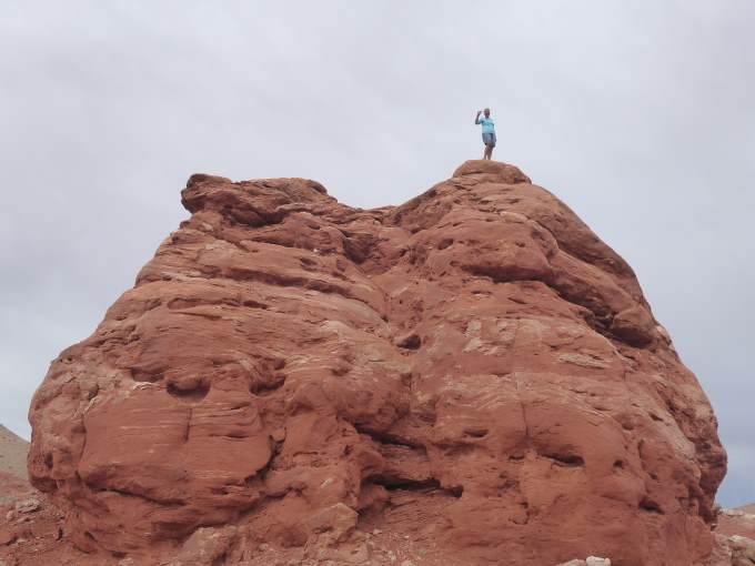
Of course Dottie had to show off by standing at the top of the formation, whereas I'd chosen to just sit there.
....................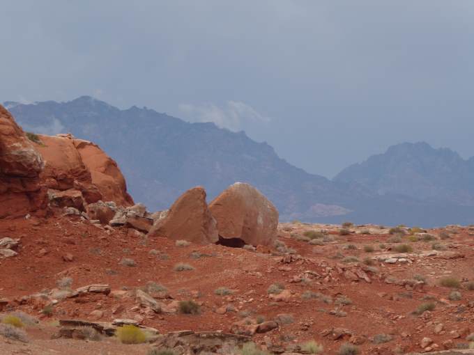
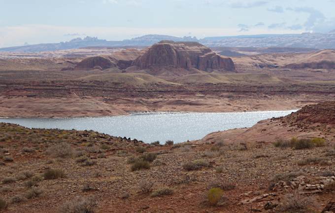
Off to the northwest were the Henry Mountains, that last mapped mountains in the U.S.
....................
We made our way back down ….
....................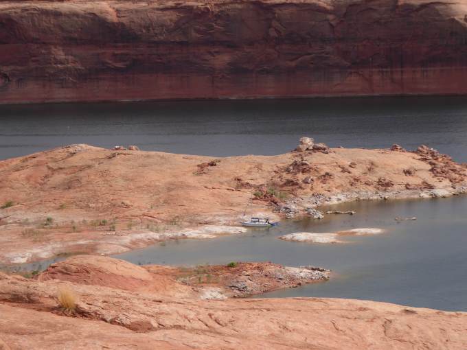
..... to the boat and ...
....................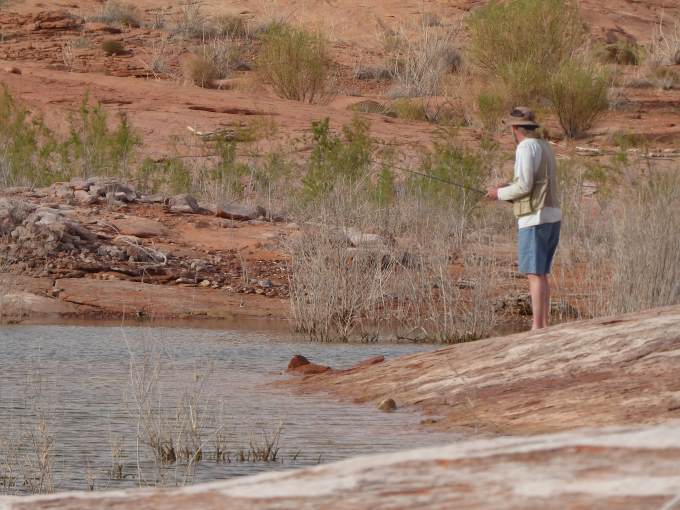
.... once there I went fishing.
....................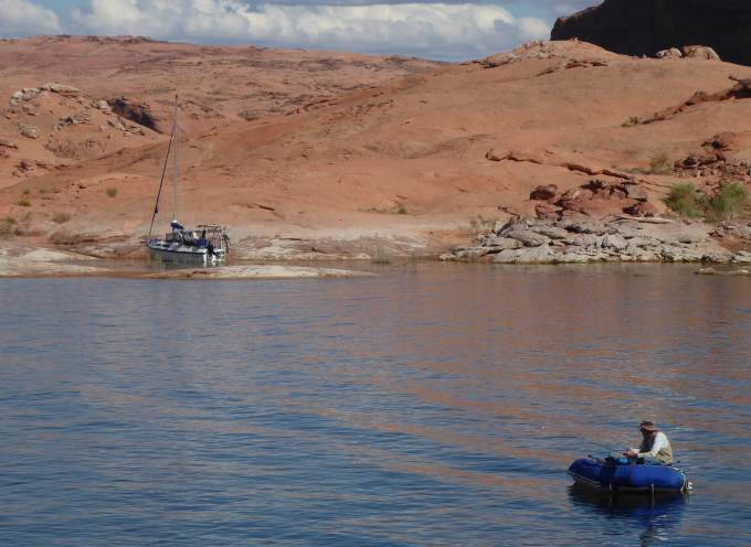
I started on the shore and then migrated to the dingy where I had better luck. I caught a couple bass and kept one that was a little under 2 lbs. For dinner that night. Powell is suppose to be great fishing and I fished quite a bit on the trip and caught some smaller bass but to be honest the couple lakes a few minutes from the house are much better fishing.
....................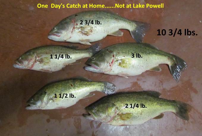
Above was one day's fishing at home. A good one but still most were much better than what I experienced on Lake Powell.
....................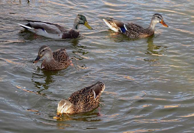
There was a duck family that would come over to the boat over the couple days we were there looking for handouts.
....................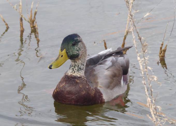
Mother and ...
....................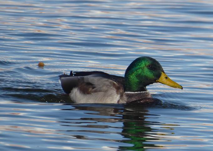
..... father were really pretty.
It was suppose to rain both days but we only had a little the first full day we were there. We could of moved on the second day but we really enjoyed this location so had no regrets.
=========================================================
...............................................................Next Page If There Is One...