........MacGregor Index Page.............. Flaming Gorge Trip Index Page
.................Previous Page........................................Next Page If There Is One
=========================================================
|
...........--- Bay South of Holms Crossing --- .................................................--- to --- ...........--- Just North of Lucerne Marina --- |
.....................................................................................................
|
............ .............(Tue -- Jun 21st) .................Anchorage --- N 40º 59.386´ .................................W 109º 35.163´ ....Trip Mileage = 26.7 NM ---- Day's Mileage = 11.5 NM Sailed = 9.4 NM.-- .Motored = .3 NM -- Motor-Sailed = 1.8 NM |
=========================================================
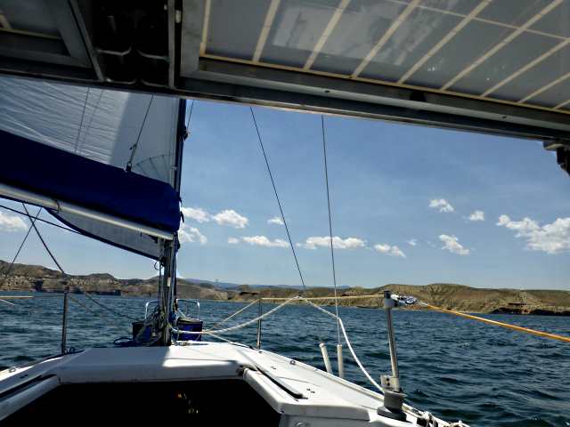
It was nice being in one spot for a couple days, but the days were slipping by also so with that in mind we wanted to get back on the lake and head for the Utah portion of the lake and down to the dam if possible. After we got out of the cut we started motor-sailing for the first time due to the conditions at the time.
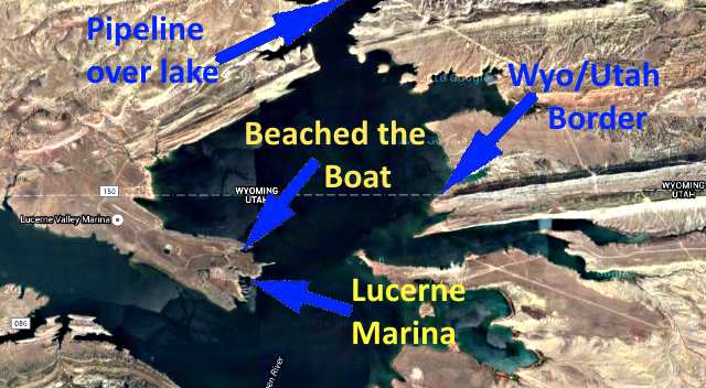
After a little less than 2 miles of motorsailing we were able to pull the outboard up and continue south sailing and did so for a little over 9 miles. We were on a broad reach most of the time with increasing winds. We passed under the pipeline that runs over the lake at mile marker 29 and out into a wide part of the lake before you get to Lucerne Valley Rec. Area that is just inside of Utah.
After passing the state line and in increasing winds we started looking for a possible place to spend the night and at first decided on the Harry's Fork Arm of the lake, possibly not too far past the Lucerne Marine.
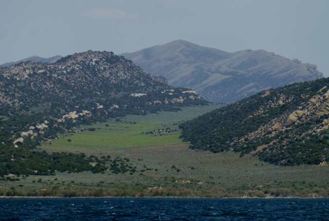
Not long after passing the pretty valley to the east we....
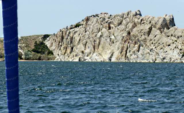
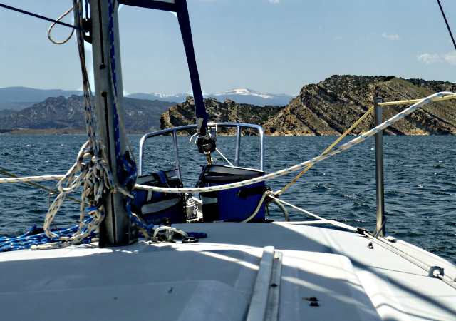
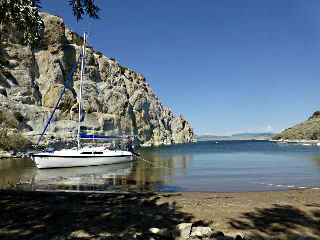
... spotted a narrow little bay north of Lucerne Marina that was protected by a white hogback ridge on its north side and a steep hill on its south side.
The east end of the hog back looked like a dog looking over the entrance into the narrow cove.
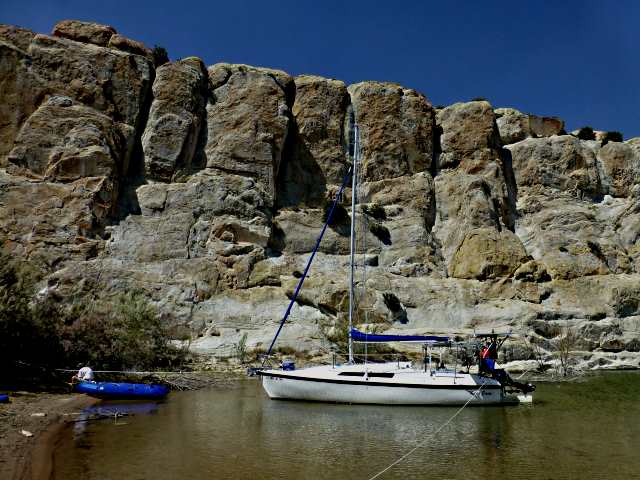
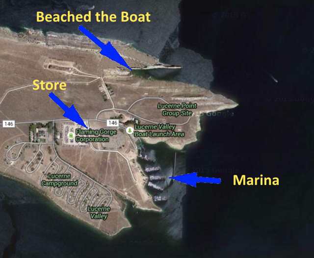
With the sails down Dottie motored us to the back of the bay and we tried to beach the boat but the water was very shallow there and the boat ran aground about 18 feet off shore. That still seemed to work well and we had a lot of wind protection here and it was a very unique place to be. There was a dirt road running down to where we were and we followed it up to the top of the ridge and found ourselves above....
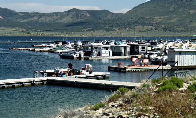
.... the campground a little to the west of us and the marina a little to the east of us. We walked down past the marina and then circled back over towards the campground and found the marina store just before the campground. Time for an ice cream bar and a couple other things.
We walked on down to the ranger station at the campground and talked to them a little about using the boat campgrounds on the lake a Kingfisher Island and at Hideout Draw in case we wanted to use them.

Then we returned to the boat .....
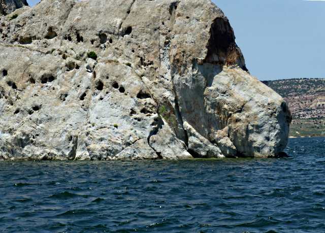
.... for the rest of the day and spent some of it watching swallows catching bugs and then returning to their nests on the nearby rock face.
This was a very well protected spot and...
... we really enjoyed it a lot.
=========================================================
...............................................................Next Page If There Is One...