........MacGregor Index Page.............. Flaming Gorge Trip Index Page
.................Previous Page........................................Next Page If There Is One
=========================================================
|
..............--- Flaming Gorge Escarpment --- .................................................--- to --- ..................--- West of Mile Marker 36 --- --- West of mile 36 on Flaming Gorge Res. Fish-n-Map CO. Map--- |
.....................................................................................................
|
...................(Fri/Sat -- Jun 24th/Jun 25th) ....................)Anchorage --- N 41º 06.491´ ......................................W 109º 32.193´ ....Trip Mileage = 80.6 NM ---- Day's Mileage = 11.1 NM Sailed = 0.0 NM.-- .Motored = 11.1 NM -- Motor-Sailed = 0.0 NM |
=========================================================
.....................................--- Friday ---
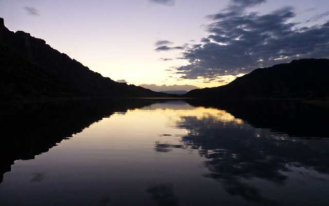
The following morning Dottie was up before the sun (I was still in bed).
She took some fantastic ...
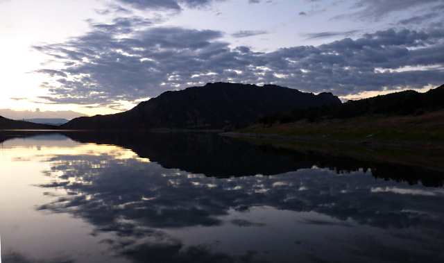
.... pre-sunrise and ......
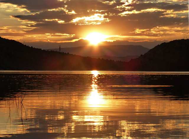
..... sunrise pictures with .....
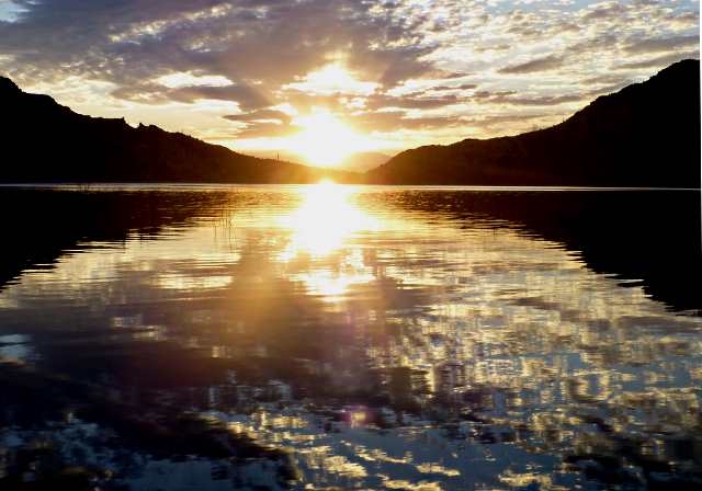
... some beautiful reflections. Seeing the pictures I should of been up also.
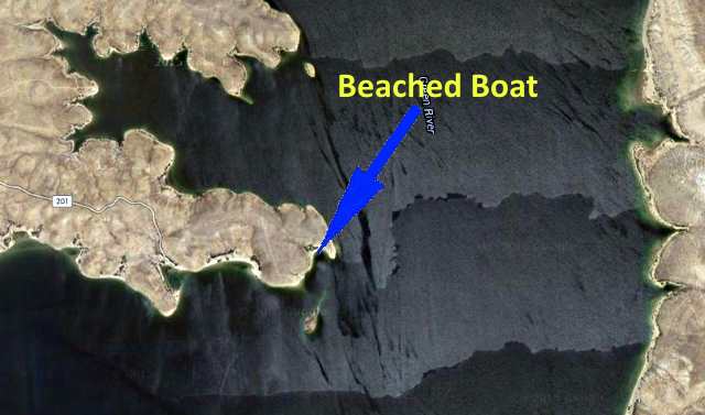
After getting the boat turned around and off the shore we headed back north up the lake and pasted Lucerne Marina and then crossed back into Wyoming.
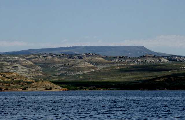
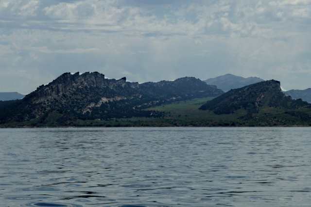
The lake/reservoir is like two distinctly different lakes, the rolling hills of Wyoming to the north and the canyons to the south in Utah.
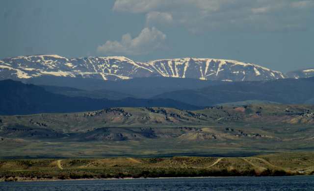
The Uinta Mountains to the south in Utah still had considerable snow on their 12,000 to 13,000+ peaks.
The day started off calm but as we worked north the wind really started to come up so we started to look for an anchorage for the night or maybe two nights and .....
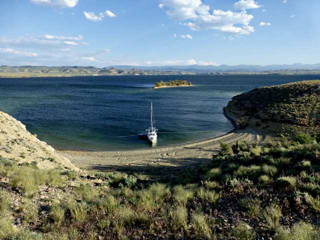
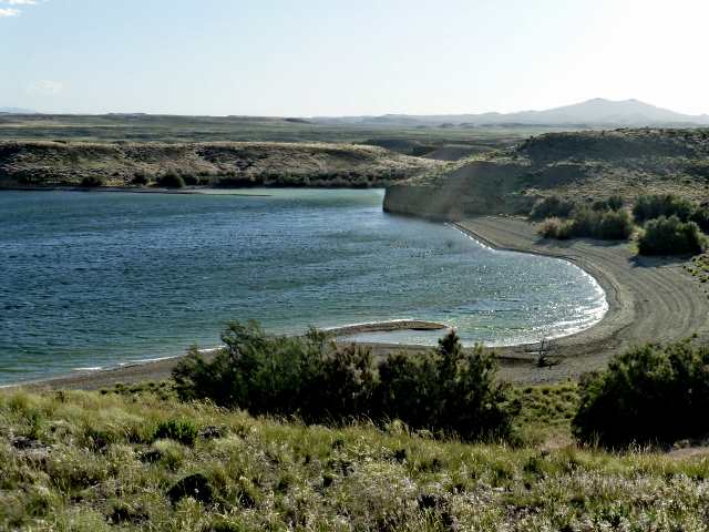
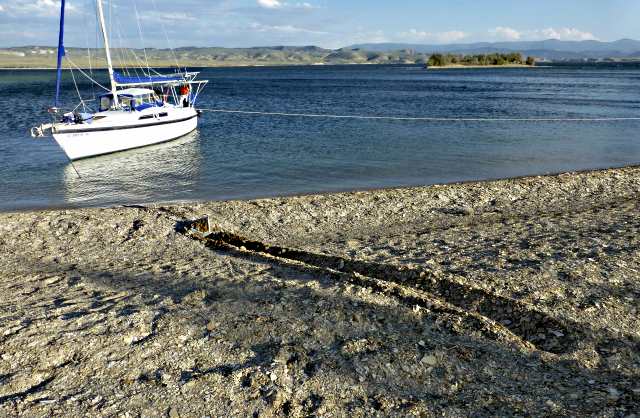
..... located a small protected bay just off the main part of the lake. We again beached the boat as it had been working so well for us. I took the Bruce anchor ashore a ways and planted it in the loose sand there and rigged up two stern lines going off to each side of the bay.
By now the wind had really whipped up and we were happy to be in a protected place.
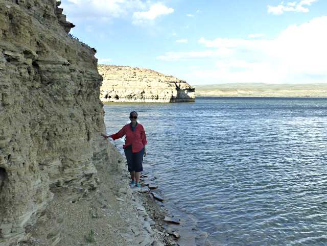
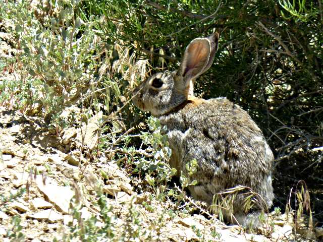
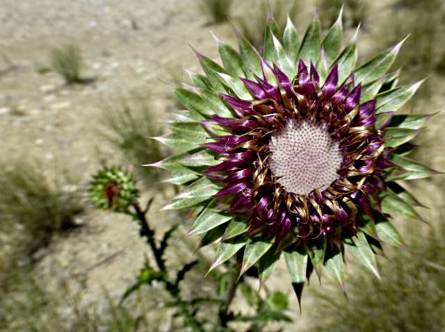
We took a walk up onto the point overlooking the bay and walked a short way west were we could overlook another bay in that direction.
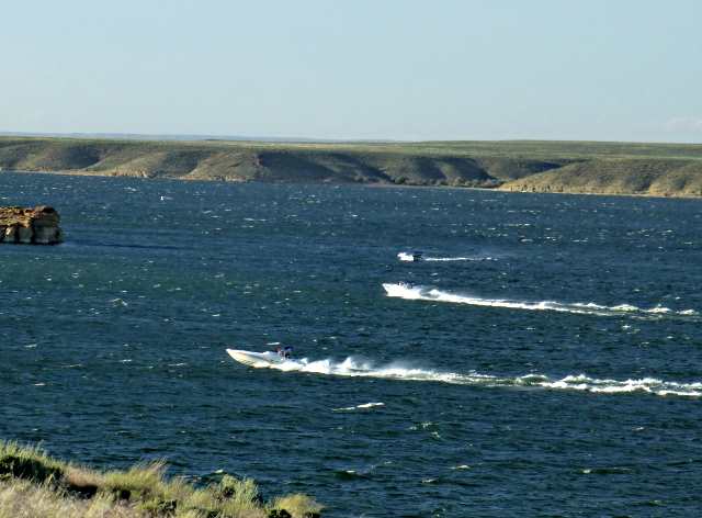
As we returned to the boat we watched three power boats try and make their way north in the heavy wind and waves. One of them almost had a major problem in the rough water and they all stopped briefly before again working their way north.
Upon returning to the boat we found that even in the protected bay the wind was strong enough at times to have caused the Bruce to drag towards the shoreline.
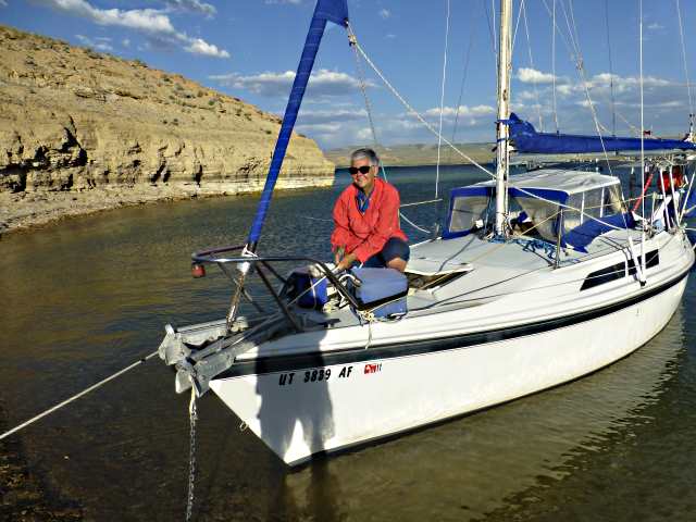
We worked together and moved the 22 lb. Bruce further up the shore and buried it better and also took the 25 lb. Manson ashore and buried it also and had no further problems.

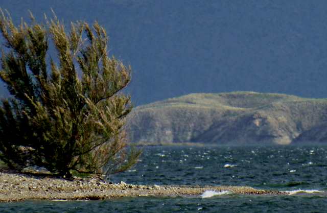
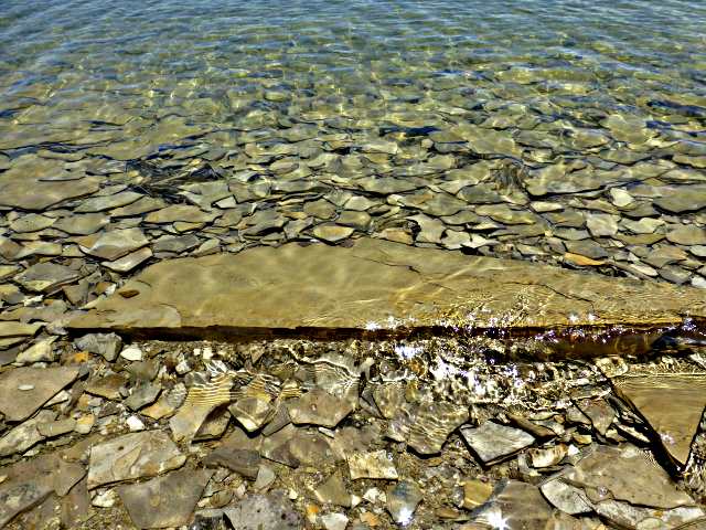
One stern line was tied to some rocks on the shoreline in the distance and the other was tied to a tamarisk bush/tree in the foreground. The lines help to keep the stern of the boat from swinging into the shore. I normally don't like tamarisk trees as they are not native to the southwest but have taken over the shores along the waterways and pushed willows, in some instances, out of existence. In this case I appreciated having one in the area.
===========================================================
............-......................--- Saturday ---
.
We had a good night's rest and liked where we were so decide to stay another day. That gave us the opportunity to ....
take another walk along the shoreline and ....
..... back up .....
...... again to ......
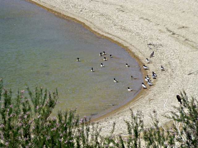
..... the point overlooking the bay just to our west.
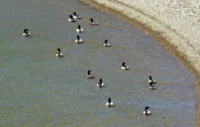
We weren't the only ones enjoying the solitude and protection there from the wind.
=========================================================
...............................................................Next Page If There Is One...