
MacGregor Index Page.......... 2015 Bahama Trip Index Page
............Previous Page......................................Next Page If There Is One
=========================================================
|
.................................--- Warderick Wells ---................................ ..........................................................--- To --- .........................................--- Shroud Cay ---
|
.....................................................................................................
===============================================
|
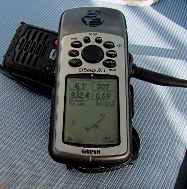
....................................................................(May 10th) Anchorage --- N 24º 32.870´ ==== Trip Mileage = 853 miles .................W 76º 47.399´ ==== Day's Mileage = 22 miles |
===============================================
After a terrible night on anchor it ...
...... was off anchor with the sails and soon sailing .....
... over 6 most of the time on a broad reach and it just wasn't working. I had the Main on the only high reef it has and the boat was rounding up on the autopilot on the gusts where it would exceed 7. If I held the main sheet and let it out on the gusts and hand steered I could keep it under control. I decided then to send the sail back to Martin at Somerset Sails and have him put in a higher reef point. The main was overpowering the Genoa and the Genoa couldn't hold the nose around. I think with less main I could of balanced the sails better. Less Genoa and it was just worst. I didn't want to continue hand steering and dealing with the main sheet so dropped the main and sailed just on the Genoa and still ran high 5's and averaged over 5 for the 22 miles up to Shroud Cay my next stop.
Of course others were going...
... considerably faster than I and ....
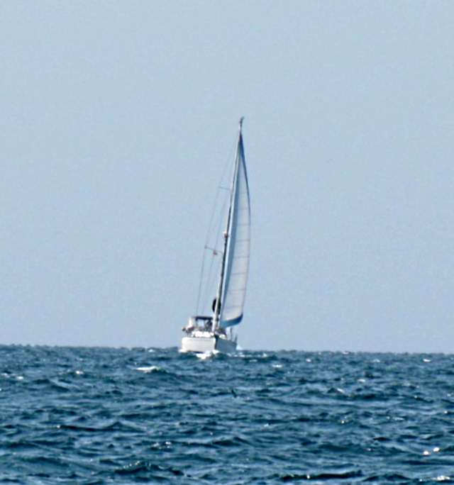
... since I wasn't running in light air like a couple days before the larger sailboats with a longer waterline and a lot more sail caught and passed me.
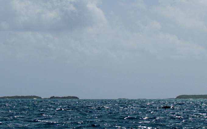
Regardless of speed it was a nice sail putting cay after cay behind me.
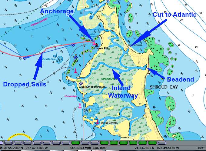
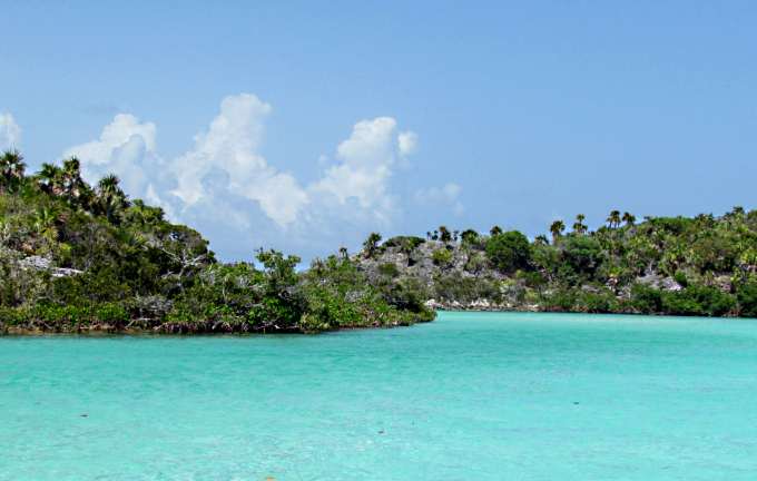
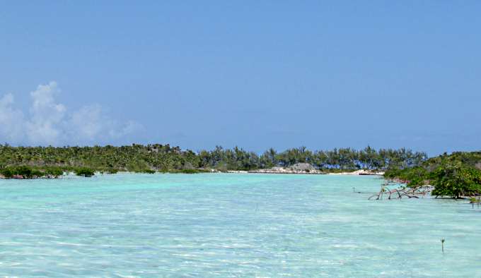
I wanted to go to Shroud as it has an inland waterway that you can traverse with your dinghy. My digital NV Bahama Charts show it but surprisingly the hard copy Explorer charts don't show the waterway as a loop that you can do as shown above. They show it going over and out the Atlantic Side but don't show the connection with the lower channel that lets you exit south of the anchorage. I only saw people going back and forth on the north section from north of the anchorage over to the ocean side and back.
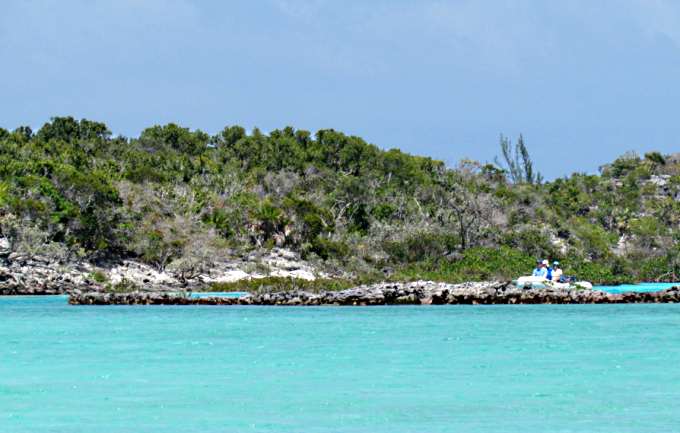
I put the outboard on the inflatable and was off to the north opening into the waterway and as I got there some people were coming out.
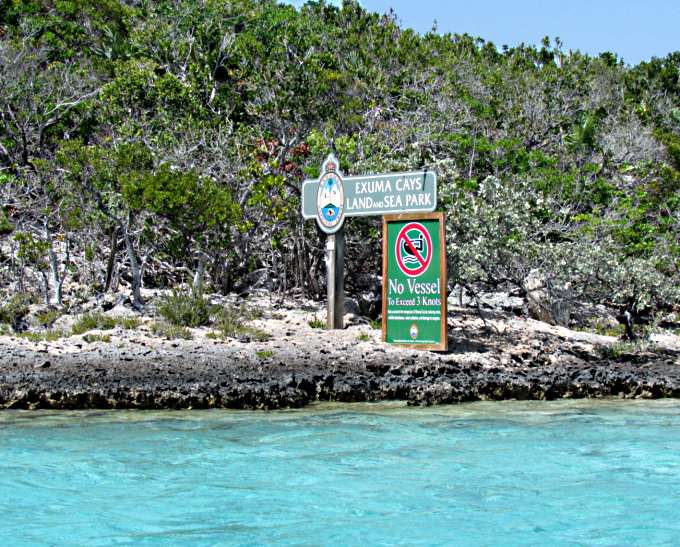
I passed the sign that tells you not to exceed 3 kts. And on eastward.
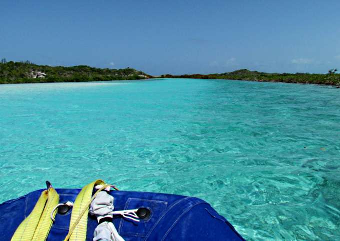
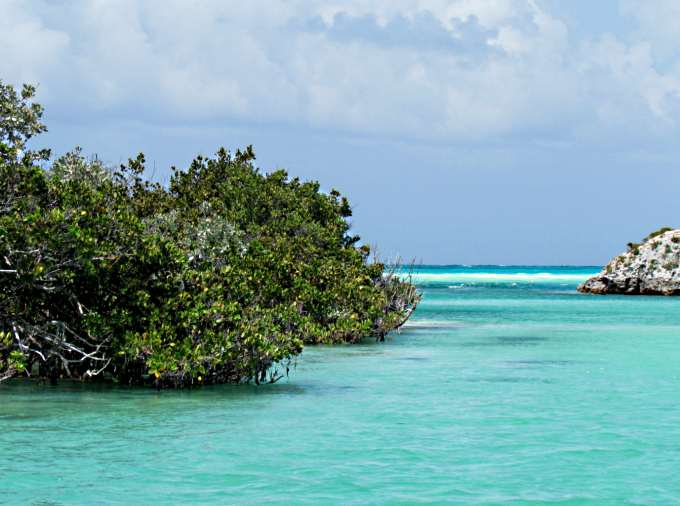
I was surprised at how wide it was. The picture above is wide-angle so not quite as wide as it appears there. The tide had just passed high tide so that was part of it also. Tony had told me they did it at low tide and had to get out a few places and drag their dinghy through. There was shallow water so you looked for deeper water and it is just like running a stream in a canoe where you stay to the outside of the bend normally.
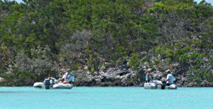
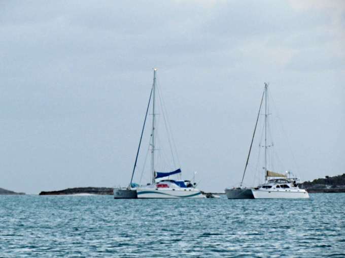
Besides the boats above I passed 3-4 more and as I got further east I didn't see any more on the waterway itself.
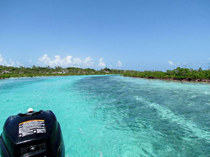
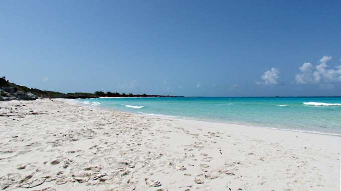
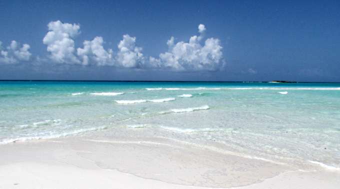
The water is the typical beautiful Bahamian water that you never get tires of looking at.
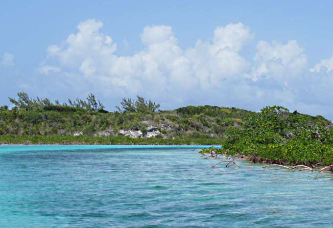
After a few twists and turns ....
... you come to a final bend and .....
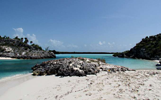
.... as you round it the Atlantic comes into view.
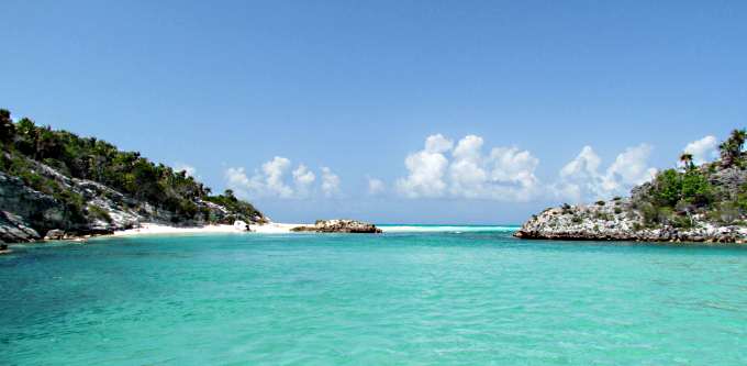
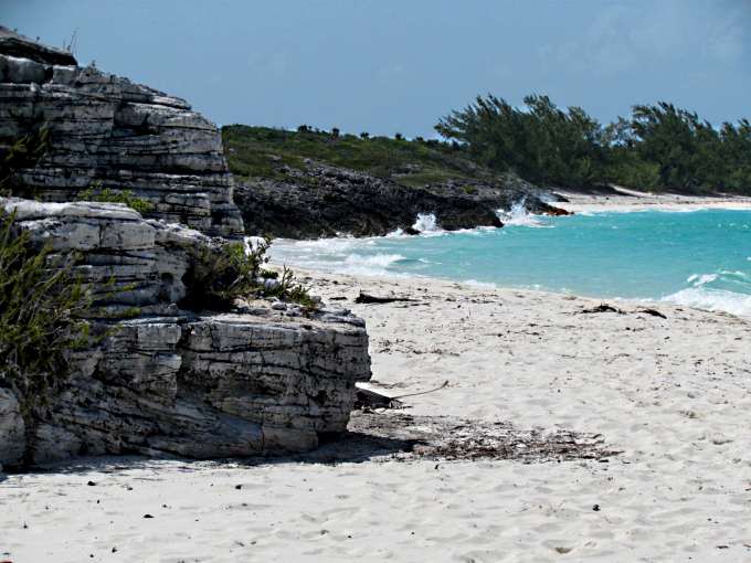
There is a nice little beach to the left of the final cut just as if someone planned it for your convenience.
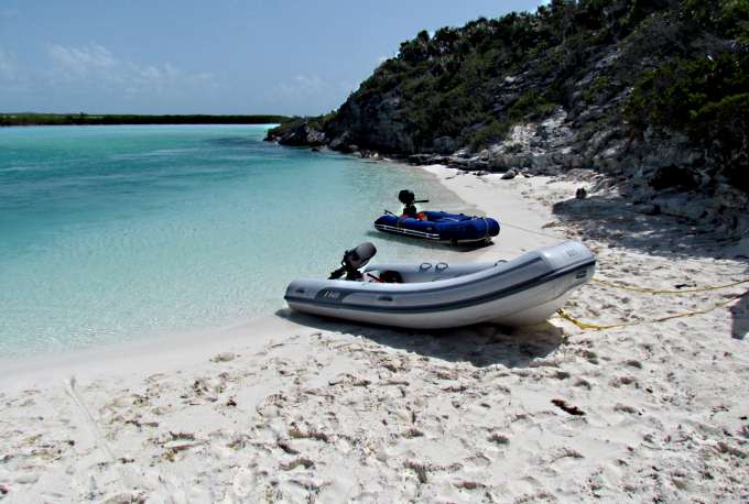
Tie up so you don't have to worry about your dinghy going on its own out the cut and ...
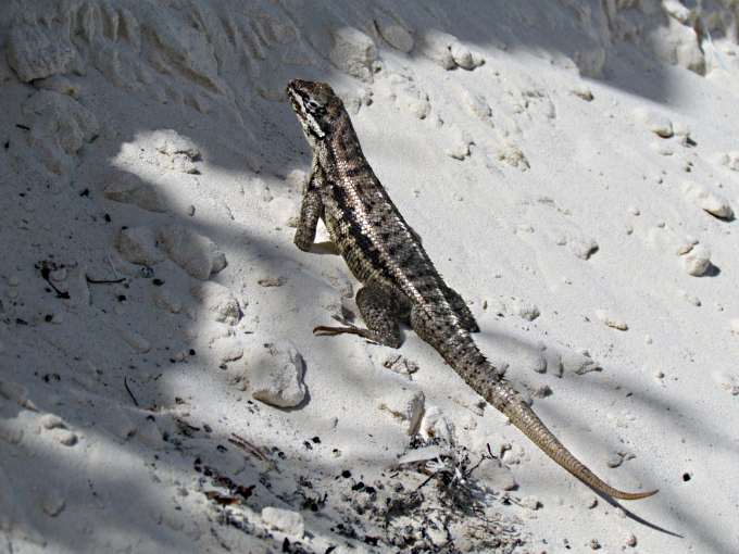
.... tip this guy a morsel of food and he will keep an eye on the dinghy for you ...
There were a few other people on the beach from the other inflatable and one of them got in the water by the dinghy and let the current carry him through the cut and out a ways .
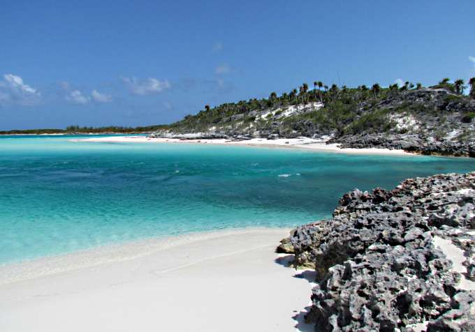
Above you can see the current running out and the nice view to the south which has ...
.... a corresponding panoramic view to the north.
I don't think it gets much prettier than this.
If you are in the area I'd sure suggest that you put this on the 'to do' list.
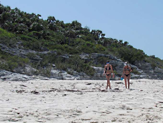
I didn't have the beach all to myself but I wasn't complaining.
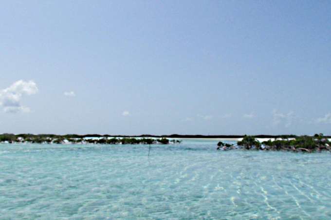
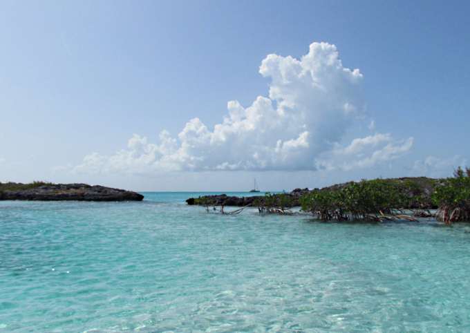
I went back to the dinghy and took the fork in the waterway off to the south just inside of the cut. Along that route were huge tidal flats like above that I'm sure go dry at low tide.
I also went down the short dead-end and was going to beach the dinghy and jump across the sand there for another look at the Atlantic but was getting tired as it had been a long day for this old man so just went down near it and then turned around and ...
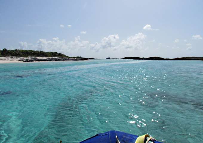
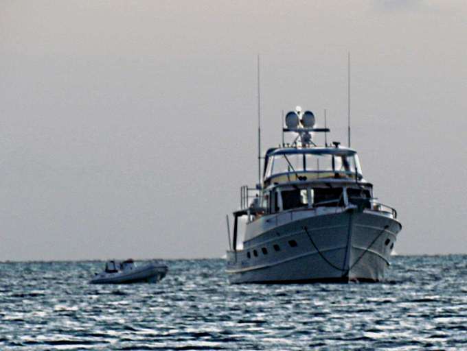
.... continued back south west to where the south branch of the waterway empties out into Exuma Sound.
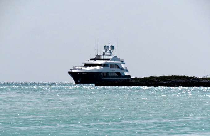
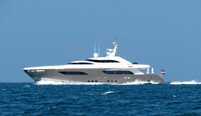
The entrance to the waterway there was overshadowed by the small yacht above.
I took a shortcut north through the narrow passage above and headed ...
... back to the anchorage where later as night approached people's anchor lights ...
... went on one after another and ...
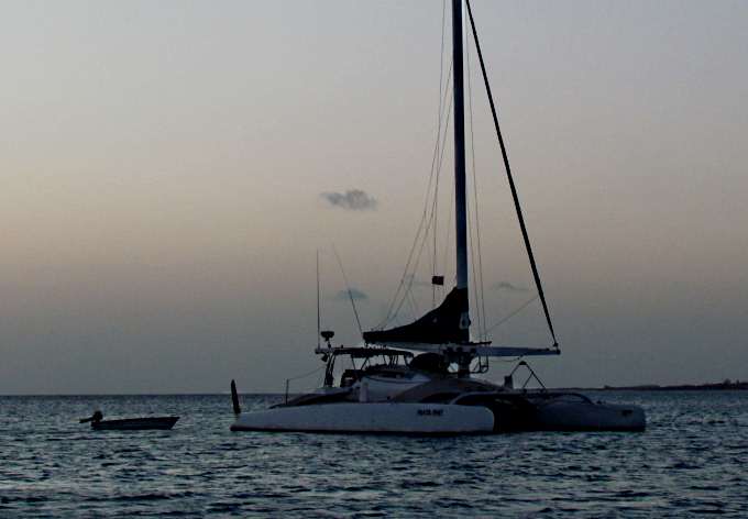
... another great day in the Exumas came to an end and I slept like a baby, again being the furthermost boat in and no surge to deal with.
=========================================================
........................................................................................Next Page If There Is One...