......................MacGregor Index Page.......... 2015 Bahama Trip Index Page
....................................Previous Page......................................Next Page If There Is One
=========================================================
|
............ ..........................................--- Georgetown --- ...............................................................--- to --- ..............................--- Lee Stocking Island ---
|
.....................................................................................................
===============================================
|
..........................................................(April 23rd) Anchorage --- N 23º 45.678´ ==== Trip Mileage = 761 miles ..................W 76º 05.154´ ==== Day's Mileage = 28 miles |
===============================================
Well time to leave Georgetown. Wind was suppose to be light and the seas should of settled down. I didn't want a repeat of the trip down outside in Exuma Sound or at least not like the first few miles. I wanted to try and get to Rat Cay cut around slack tide which would be around 6:30 which was low tide.
l left the harbor behind, rounding Channel Cay above to the right, around 9 am so had all day to make the 18 miles up to the cut. I didn't like that I was getting there so late in the day as I still had about 6 miles after the cut to the anchorage at Williams Bay where I had overnighted on the way south. Just before the picture above while I was still inside I put the main up and once outside ran the Genoa out.
The wind was very light but I could make 2 ½ to 3 kts with the two sails. That slow speed might work out pretty close to what I needed to be running to make the cut a little after 6. That worked for about 4-5 miles but then the wind died more. I started the outboard and found the boat running along at 5 with the outboard just barely off idle. Well this now was too fast. I looked back at the tide tables and saw that high tide was about 12:30 so then begin to think maybe with the increased speed I might not miss that too much and hopefully the ebb tide wouldn't of built too much by the time I'd be going in against it. So with that in mind I was off north at the 5 kts.
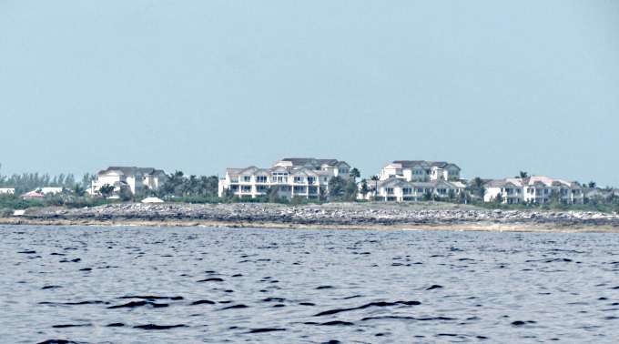
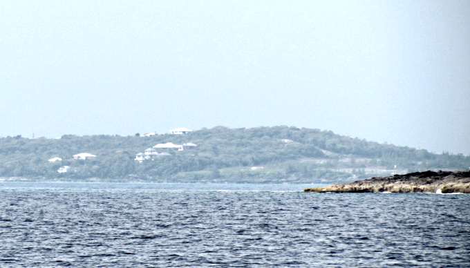
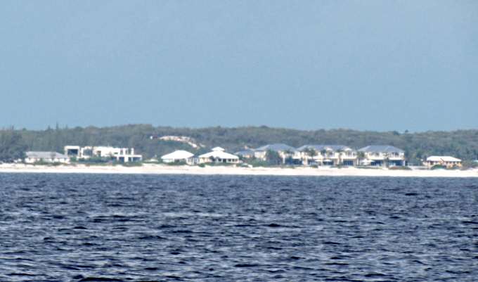
l passed the huge development at Emerald Bay above ....
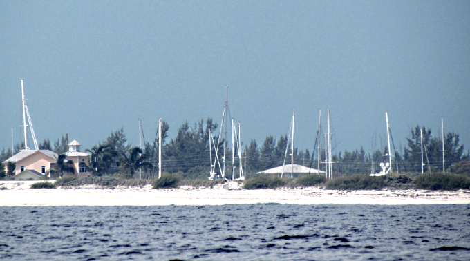
.... along with its marina in a bay so all that you see are the boats masts that are in there.
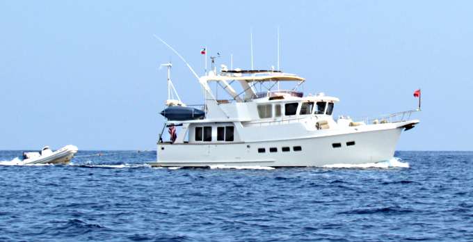
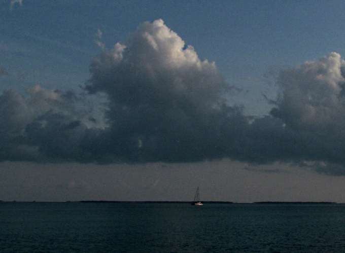
There had been one sailboat about a mile ahead of me when I left Georgetown and another came in when I went out. The one ahead of me disappeared when I was running slow. Besides those two sailboats the only other boat I saw running in Exuma Sound was the powerboat above that was headed south.
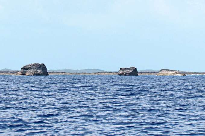
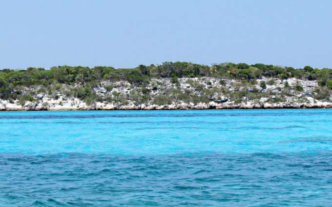
It seemed like almost no time at all and I was up to the Three Sisters, the third sister is to the right and not near as tall as her two older sisters. These gals are only about 2 ½ miles south of the cut. Going south in the bad seas that 2 ½ miles seemed like 22 miles. So I was making good time and would be at the cut soon.
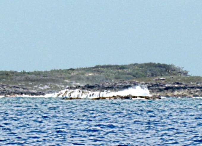
I started to pay a little more attention to the shore and the waves breaking there. Even though the sea was a lot flatter than when I went south I could still hear and see the waves breaking on the shore about a mile in from my northerly course. Most of the pictures on this run, with the exception of the Sisters, were about a mile from the boat so some of the pictures aren't the best.
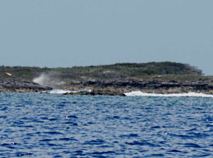
I tried to get a good picture of some of the blow holes that were spouting, left side of the picture above, but wasn't able to due to the distance and trying to time the shot.
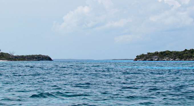
I got to the cut about 1:15 and it looked flat with no breaking waves going across it like some south of there that I'd seen earlier in the day that had reefs almost across them. I decided I'll try it and if the current proves to be too high I'll just let it push me back out and then regroup.
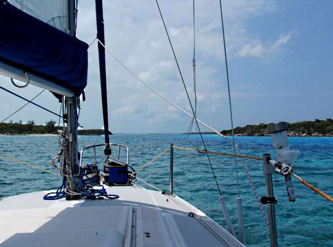
I entered the cut at a little over 5 kts and increase the throttle even more as soon as I was in the current due to the outgoing tide at this point. I slowed from 5+ to around 3 but could keep it there so kept going. The water in these cuts is hard to describe as it is just different and different at different times depending on all the variables that are going on with wind, tide and direction of the current running with the tide. In this case the current coming out resembled running into a river that was moving towards you yet the ocean swells were picking that current and the boat up and lifting you towards the cut. A very unique experience and probably one that is always different.
The boat was only slowed for a few hundred yards and then started to slowly rebuild speed as I rounded the south side of Rat Cay above.
Above looking back out the cut you can see the water does not look consistent but you can also see there were no waves to deal with. This cut faces NE so if there is much of a sea or winds from the E or SE, like when I was going out it is nicer to use than some of the others. Now if there were NE winds and seas this would not be the one you would probably want to use. Maybe consider one that faces more SE. Remember I'm not say what 'you' should do. You are the captain of your boat and you have to make the decision on what will work best for you, your boat and your crew. Think, think think and plan, plan, plan.
Within a couple minutes I was rounding the SW side of Rat and headed north with it off to Starboard and Pigeon Car off to Port.
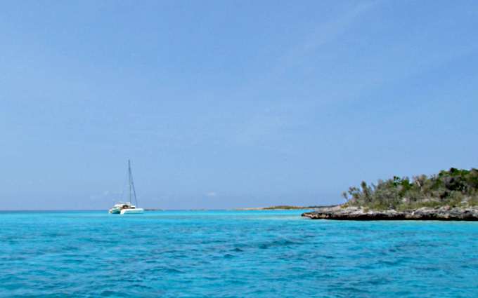
On the NW side of Rat a cat was anchored in the little anchorage I had waited in going south waiting for the tide change.
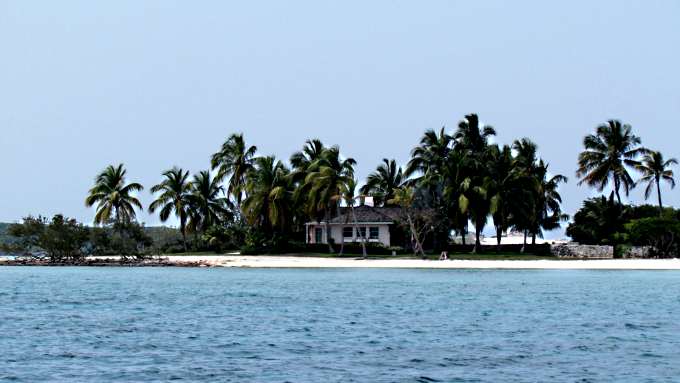
I headed north and passed this place that to me looks great but a little out of place there and more like a place I expect to see in Florida.
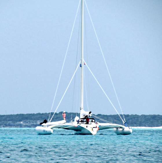
The trimaran above was headed south and going over some water that I was trying to avoid. Right about here with a large power yacht approaching me I started to hear a strange sound and though please outboard don't develop a problem now. I cut the outboard and tried to get the boat headed off to starboard so the boat coming at me would have room since there was a lot of shallow water here. It turned out to be a large mass of some type of grass you see floating down here that looks like it has beads all along the length of it. It was all wrapped around the rudder and some had gotten into the prop also. The powerboat passed and I got everything cleaned up and was off again. Going through the cut I was hand steering with the tiller and to me it felt really hard to turn then and chalked it up to the current and maybe my imagination but I'll bet all of the grass was on it then also.
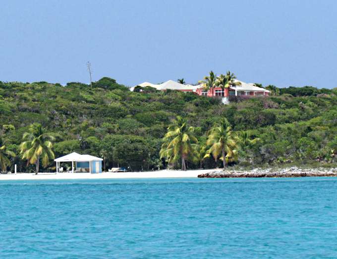
Nearing the anchorage I also passed the place above and ...
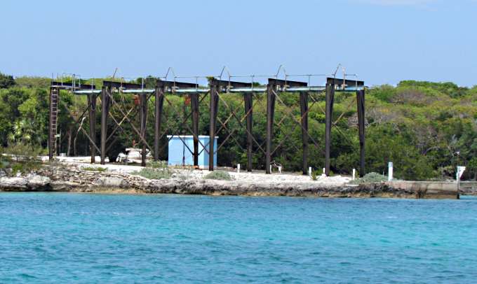
... this huge gantry. They much load or off-load some large items here and this isn't a town or a settlement here.
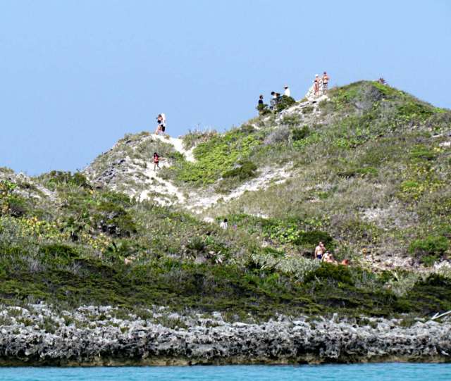
As pulled into Williams Bay one of the powerboat tours was there and the tourist from it were up on the point looking out on the Exuma Sound side of Lee Stocking Island (see the view some pages back if you are entering the trip here).
They soon left and I had the place to myself except for the cat above anchored well off shore. Also later, another cat came in and anchored not to far from me and it wasn't too long before some music drifted softly across the water in my direction as they sang song after song amongst themselves.
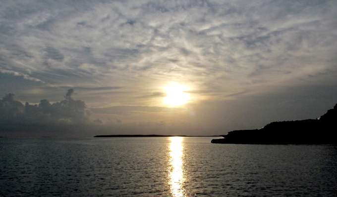
It had been a good day, nothing like the trip south from here. I was still tired, but not beat, so not long after the sun slipped below the horizon I slipped into the V-berth for the night.
=========================================================
........................................................................................Next Page If There Is One...