......................MacGregor Index Page.......... 2015 Bahama Trip Index Page
....................................Previous Page......................................Next Page If There Is One
=========================================================
|
............ ...................................--- Highborne Cay --- ...........................................................--- to --- ............................--- South Sampson Cay --- ........... |
.....................................................................................................
|
..........................................................(April 5th) Anchorage --- N 24º 12.390´ ==== Trip Mileage = 643 miles ..................W 76º 28.464´ ==== Day's Mileage = 52 miles |
===============================================
What a great day this was. One of the staff at Highborne said I should be able to get on the Internet at Staniel Cay about 50 miles south of Highborne. I figured I needed to try and let family know I was OK so it was off to Staniel. After getting to Georgetown, if I made it down that far, I could make much smaller steps back north and stay inside the chain of cays that made up the Exumas. To make time I'd go offshore about 2-4 miles going southeast running over the Exuma Bank on the west side of the Exuma chain.
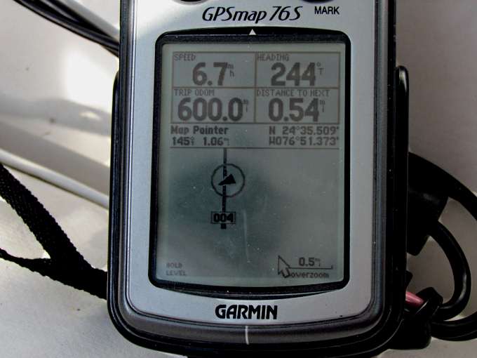
Notice on this leg I passed the 600 mile mark since leaving the boatyard on March 9th about 28 days before this day. Also notice the speed. I wish it would of been that all day but most of the day was high 4's and low 5's as I was on a very close reach.
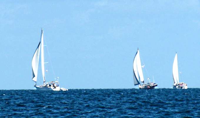
Others were also enjoying the nice day. Most like these three where headed north after spending the winter months in the Bahamas.
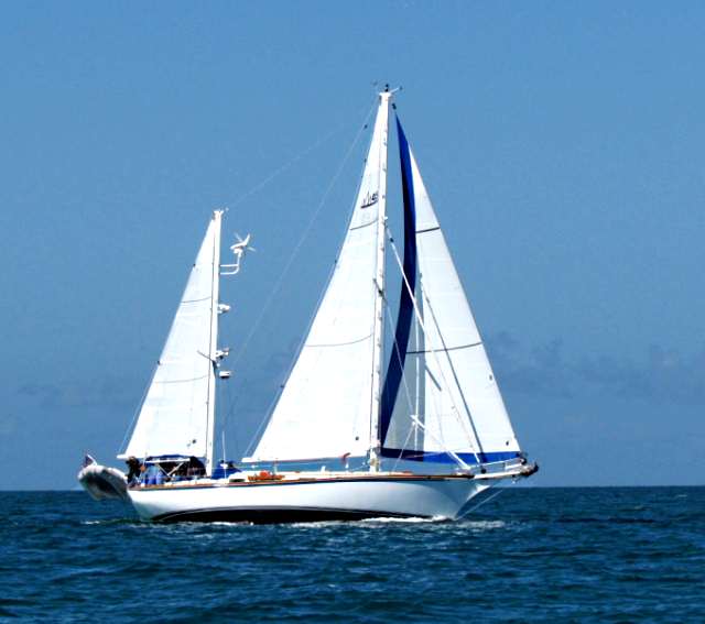
Nice ketch with a lot of sail out. The boats going north had a little better angle on the wind than I. I looked forward to going north and west later in the trip with the prevailing east winds but I was headed SE now and it was what it was.

Others were going through a lot of diesel. Notice the umbrella out on the bow. I hardly ever saw anyone out of deck on any of these big boats.
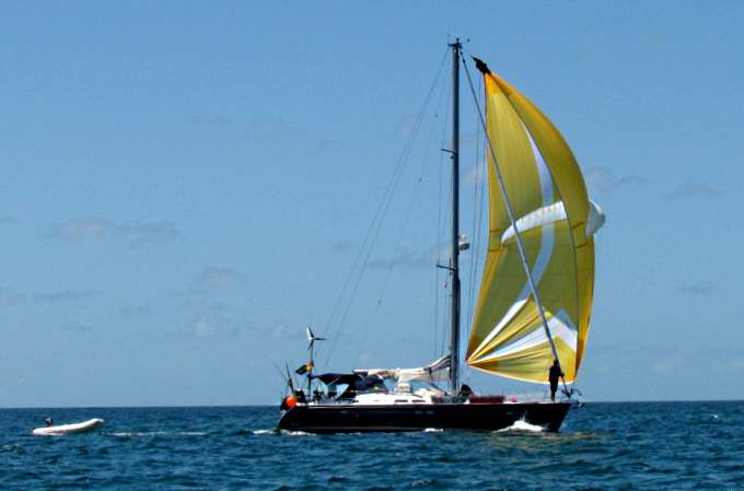
The only boat that I had seen running a spinnaker, as I write this (4-11-15) and ...
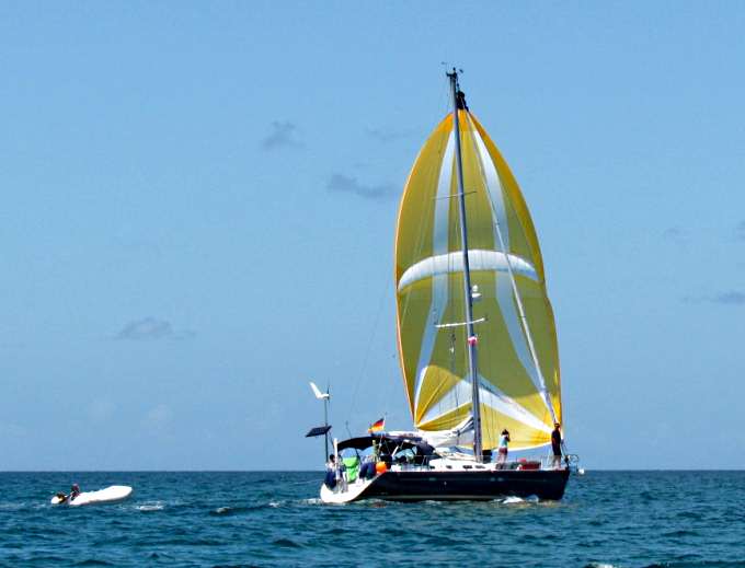
... the guy up front was getting his picture taken by someone other than me.
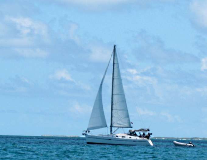
Another boat going north.
As I said above I was running about as close as I could to the wind and later in the run I ran on a tack for a couple miles trying to sail the entire way. On this tack I wasn't going to make it.
So good wind and ...
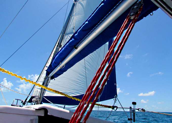
... and a good day on the water and no major waves so about perfect.
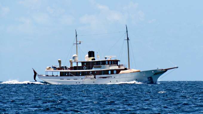
As I write this I feel this was the coolest looking boat that I'd seen on the trip. I loved the lines and would like to know more about it. I'm betting it has some history.
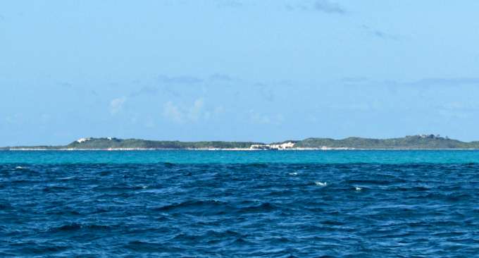
At times I'd be running a little closer to some of the cays, here about 1 ½ to 2 miles out (telephoto shot).
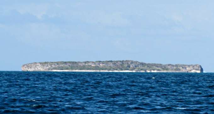
After being in flat southern Florida it is nice to see some land with some elevation to it. It wasn't the west where I lived but almost seemed like it. I need to find out more about the geology of the Bahamas but know that the rocks are limestone, a sedimentary rock that is formed in seas a long time ago from the buildup of marine life.
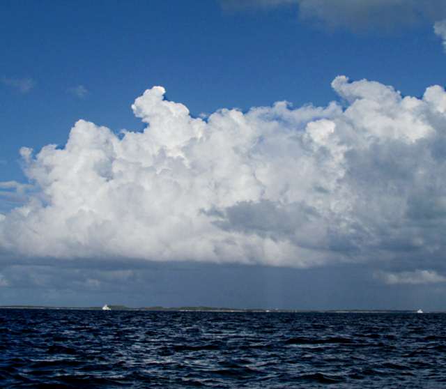
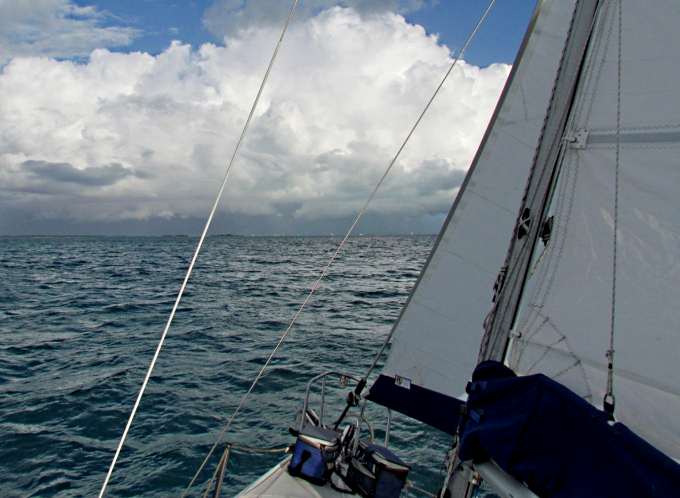
As the afternoon wore on the clouds started to build in front of me and I really didn't want to run into another squall after the one I got into crossing the banks east of Bimini.
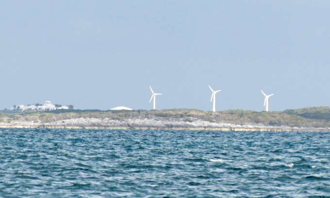
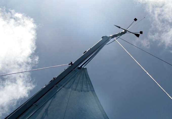
Wind power has come to this cay.
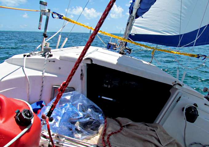
Heeled over and headed SE but .....
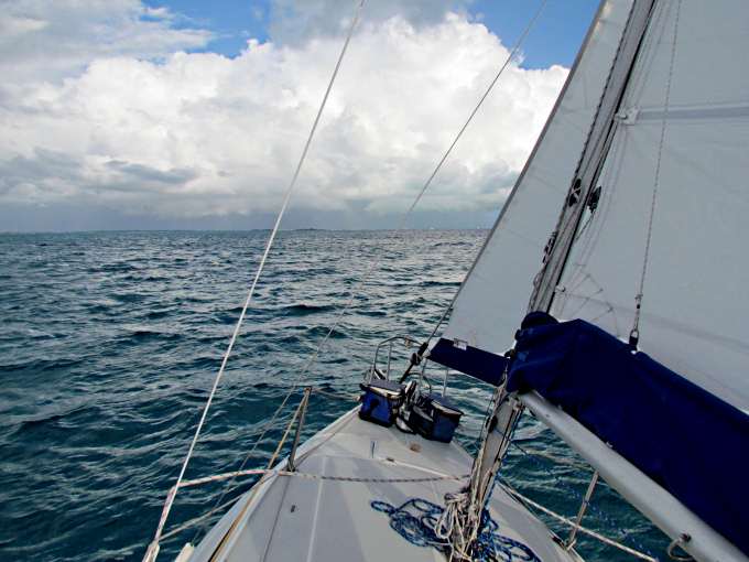
.... I wasn't to thrilled with what was out front of me.
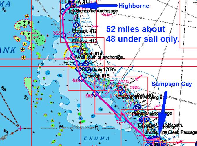
The days route above, with Highborne at the top and Sampson Cay at the bottom. I actually anchored just off South Sampson Cay. Notice the symbols that mark anchorages Mike and Sandy used on their trip in 2011 with their Macgregor 26X, Chinook. I had tried to locate them and mark them before I left on the trip. Their trip report is an excellent source of information on traveling to and through the Bahamas on a small boat. Without it I don't think I would of taken this trip, thanks Mike and Sandy. I passed a lot of their anchorages on this day and sure hoped I'd be able to see a number of them going back north inside vs. outside where I was running.
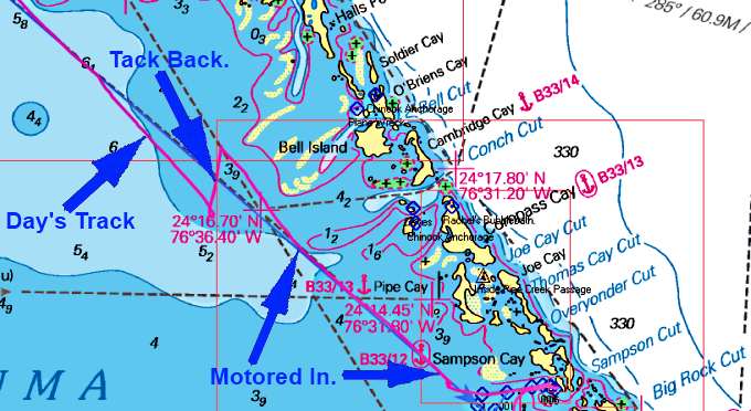
I was tacking to the SE as close as I could without using the outboard so wasn't going to make it on that tack as I'd hit some miles south of my destination (see boat's track by far left arrow). Knowing that and wanting to try and sail to South Sampson Cay I tacked back north 2 miles, top left arrow. I then took off SE again but....
The weather ahead started to look worst and worst and I was running out of daylight so got the main down as I didn't want to have to do that in a squall but left the jib up and motored the last miles into the anchorage.
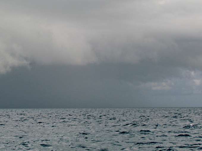
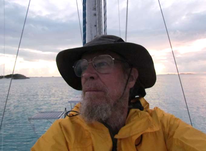
I got my rain gear as I started to see that I wasn't going to skirt the storm entirely. It then started raining but I stayed on the edge of it so it was not that bad and no lightning in this storm or the other one I'd been in.
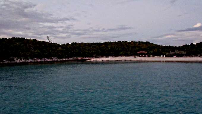
I anchored just off this little beach, with a sign asking you to stay off as it was private. It was actually darker than the picture as by the time I got in here .....
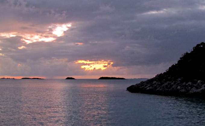
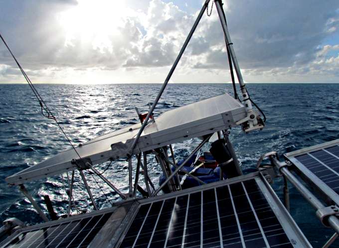
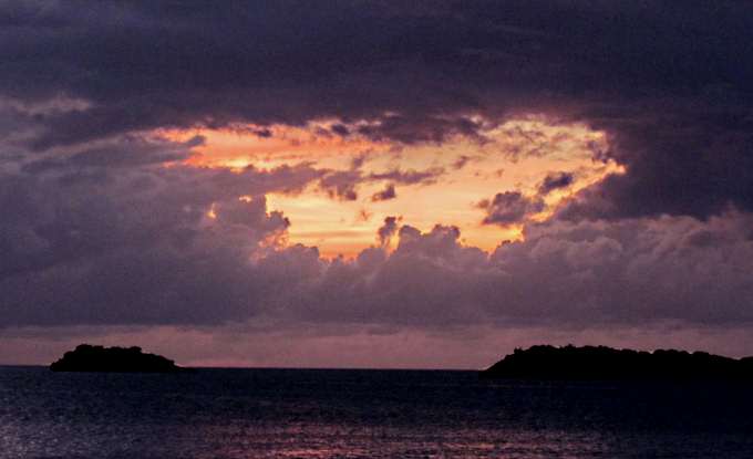
.... the last light of the day was quickly receding into the clouds to the east .....
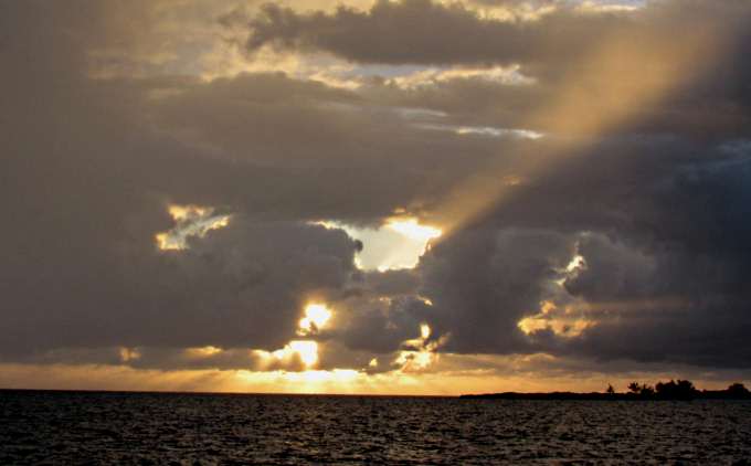
A hole in the clouds to the west emitted a large ray of light .....
.... signaling to me the end of another day on the water in the Bahamas.
I was pretty beat as it had been a long day moving from about 7:15 am to 7:30 pm and up before that to listen to Chris's weather at 6:30 before getting underway.
So I went below and ate something and was off to bed as I still didn't have wifi here and was a few miles north of Staniel where I should have some. In retrospect I should of bought a Spot locater so people could see that I was still OK or bought a cheap phone and a phone plan where I could of called. I'd recommend one or the other for anyone thinking of this trip if you think people might worry about you.
=========================================================
........................................................................................Next Page If There Is One...